

Route 66 Cross-Country USA
Travel Dates: July 28, 2012 – August 19, 2012
Trip Time: 22 Days
Distance: 9,188 mi/14,786 km
States Visited: 24
Temperature: Low: 44°F (Yosemite NP) High: 117°F (Needles, CA)
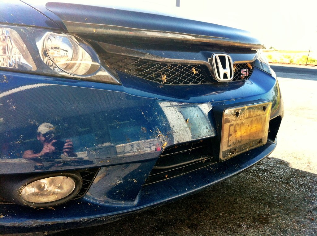
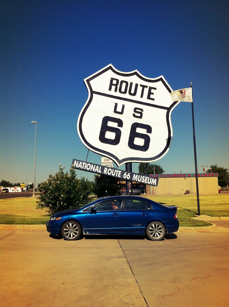
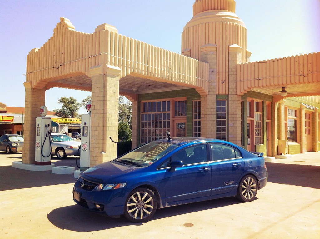
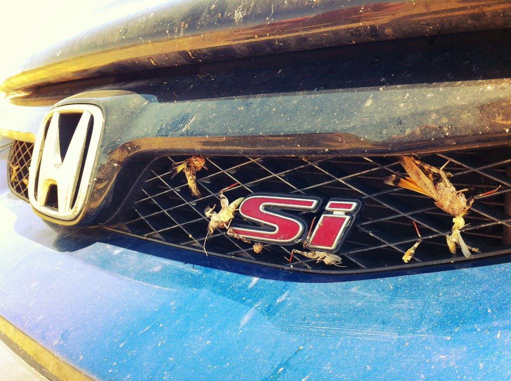
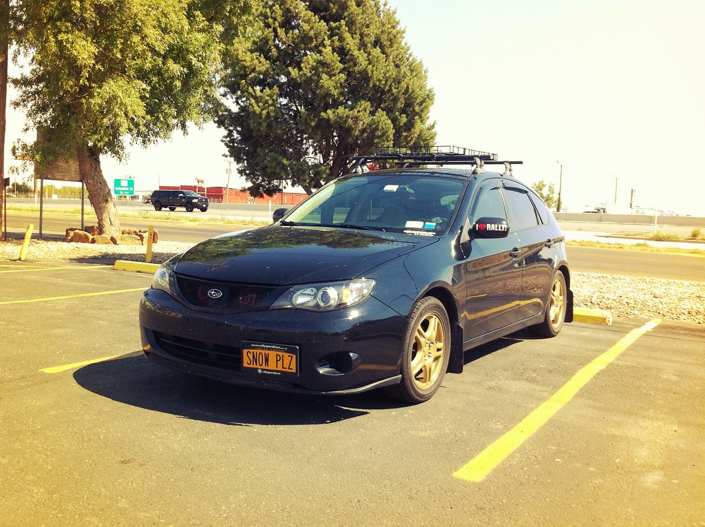
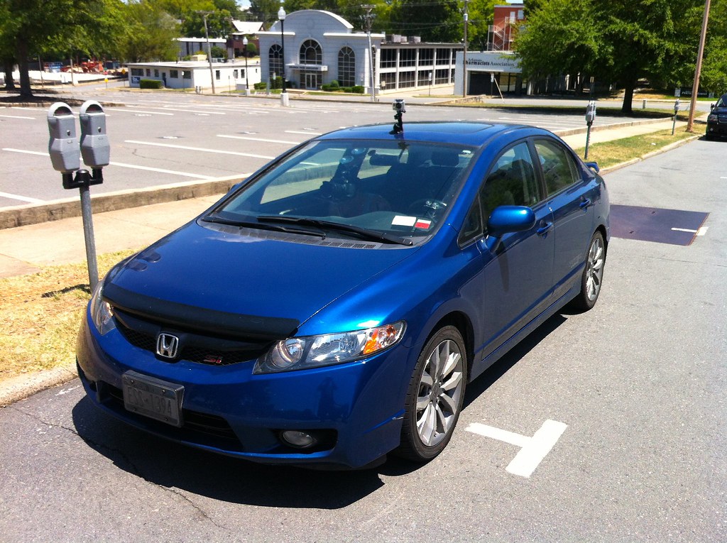
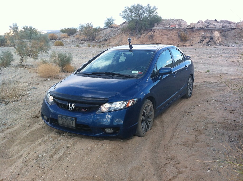
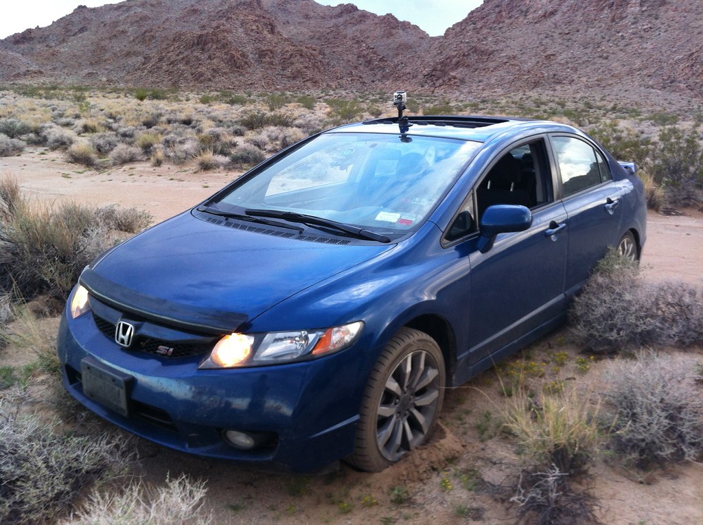
Vehicle: 2009 Honda Civic Si
Avg. MPG: 30.07 MPG, $.0132/mi
Total Gallons: 311.39 Gal
Total Fuel Cost: $1,235.27, $53.71/Day
Total Approx. Trip Cost: $1,250 (1 of 2 people)
Trip Theme Songs: John Mayer – Route 66
Drivelapse Route 66
See the whole route:
Drivelapse Route 66 Uncut The full-length Route 66 Drivelapse video. Duration: 51:40
Featured On:
Timelapse USA 2012
Drivelapse USA 66
Drivelapse USA 66 – Full– The long version of Drivelapse USA 66. Time: 38:58
TRIP SUMMARY:
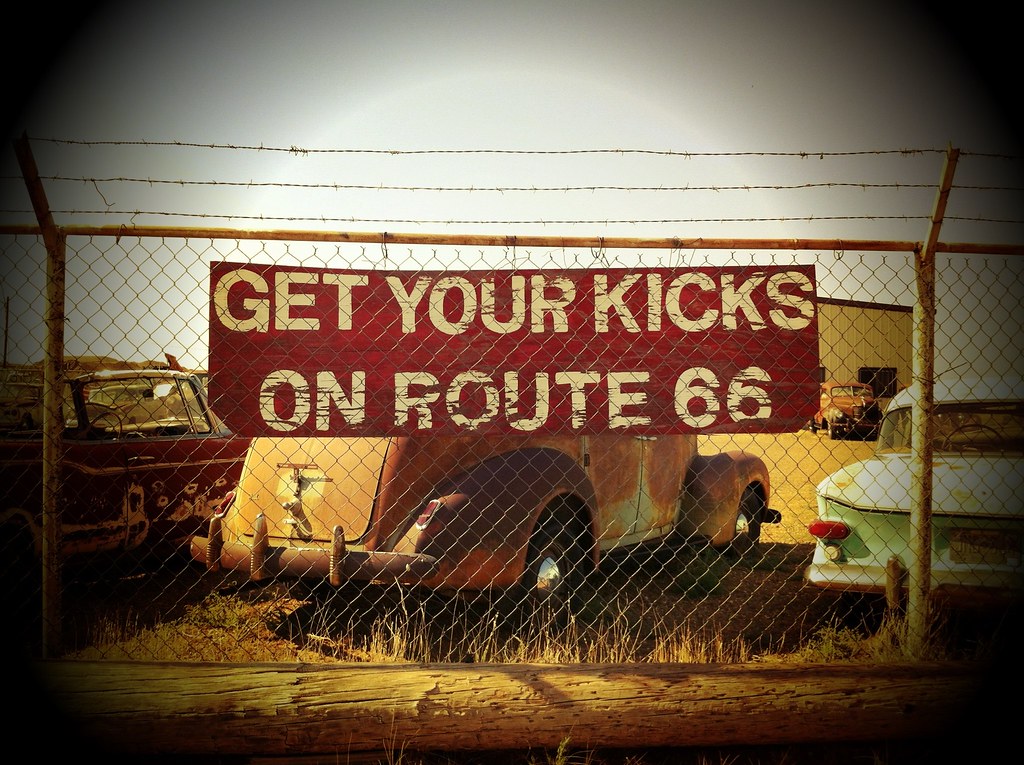
After driving the mother road from Amarillo to Flagstaff on my Cross-Country 2011 road trip last year, I decided my next trip had to go from Chicago to LA and over 2,000 miles all the way this year. Route 66 has always been an interest of mine and in recent years my interest was spiked after seeing the Disney movie “Cars“. In case you haven’t seen it (or you’re unfamiliar with the history of Route 66 in America), this short clip from the movie portrays an accurate depiction of what happened to many of the towns Route 66 used to run through:
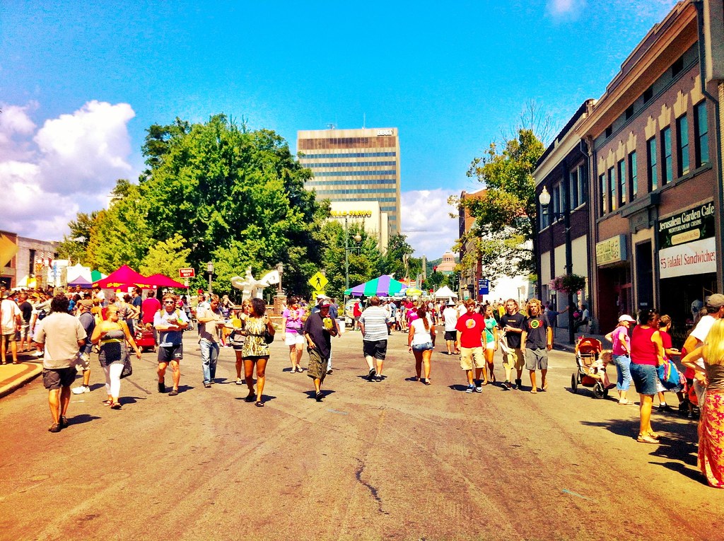
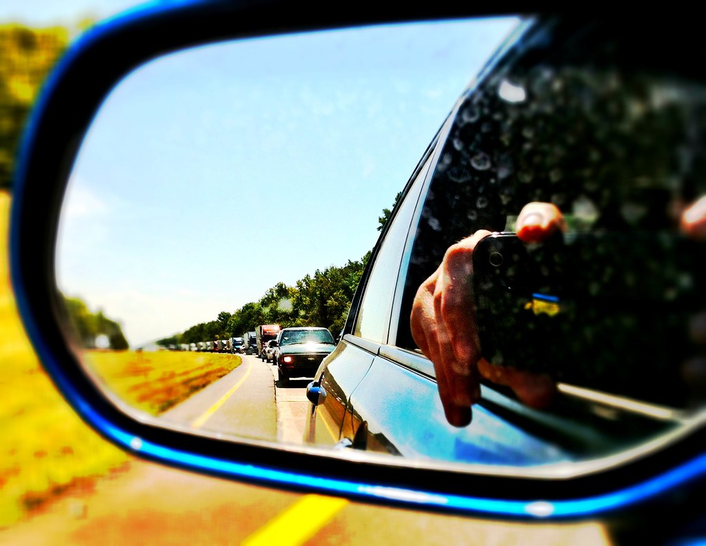
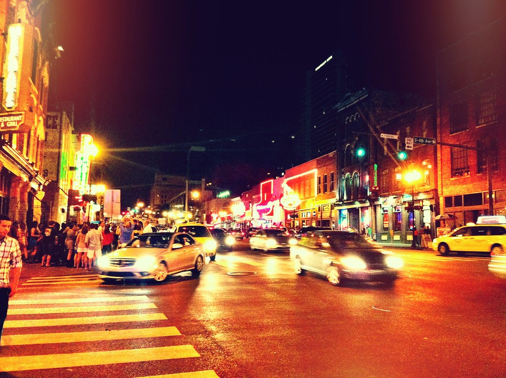
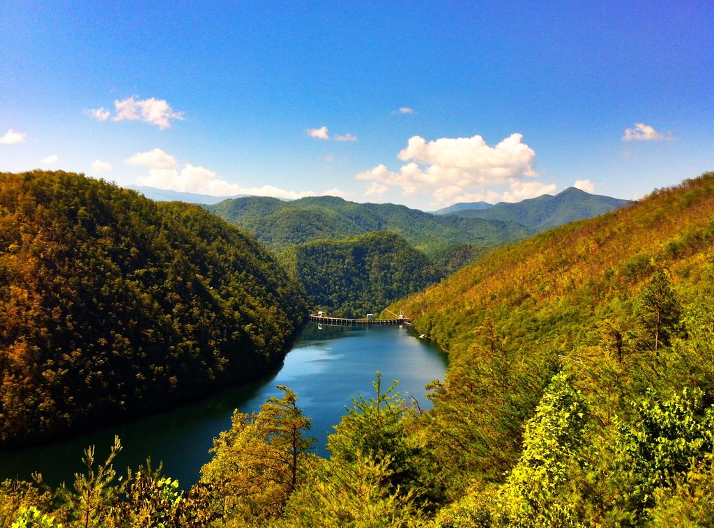
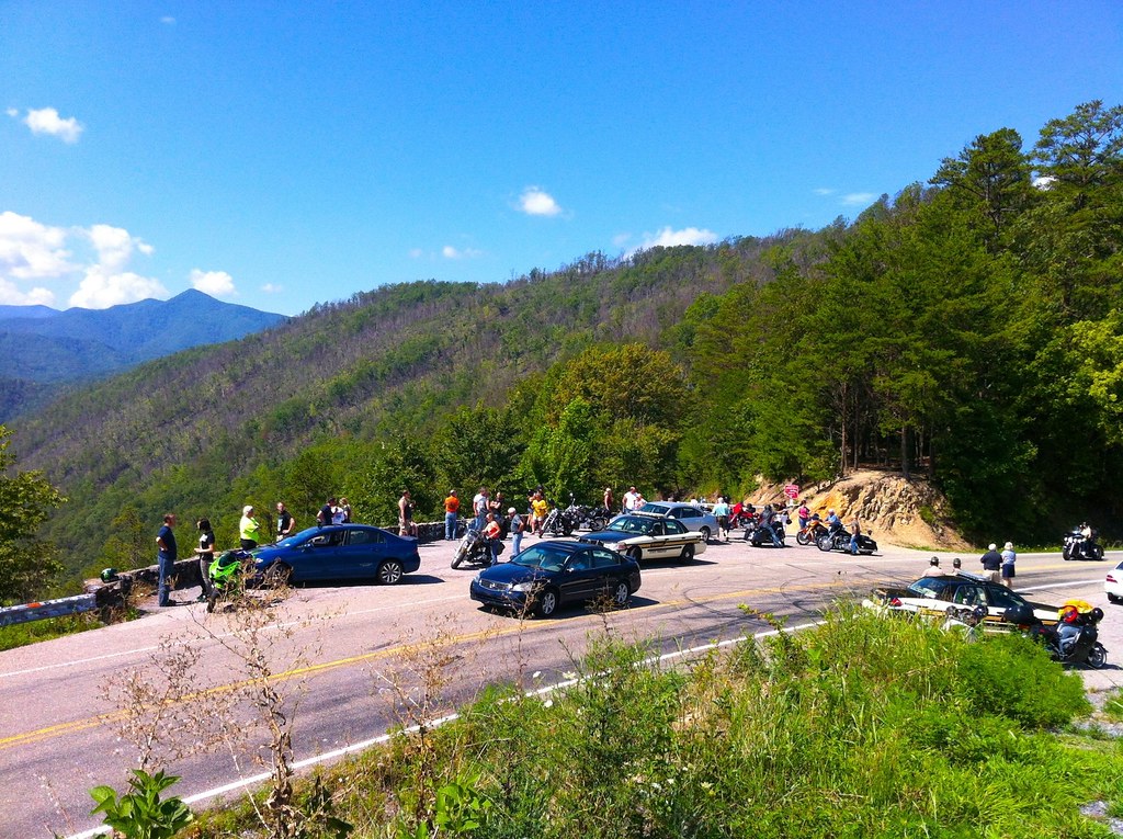
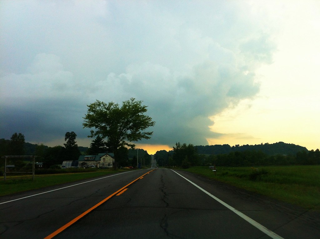
With Route 66 as the focus of the trip we set out on another Cross-Country adventure a year later that took us from the Atlantic to the Pacific once again. The first and last days were the longest since we had a 3 week window in which we had to complete the trip by. The first day we started in Austin, Texas (Live Music Capital of the World) and ended in Nashville, Tennessee (Music City). Arriving in Nashville on a Saturday night proved to be a perfect timing of events. The streets were crowded with people and live music was flowing out of every bar and restaurant on Broadway. We left early the next morning, heading west on I-40 into the Smoky Mountains onto my favorite road in the country: Tail Of The Dragon. After cruising the dragon with a Mazda Miata group and lots of motorcycles we headed north up to Asheville where we stumbled upon the last day of a festival was taking place. We enjoyed some food and live music music on the closed streets of Asheville before heading north into Virginia to camp for the night.
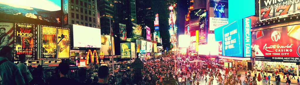
From Virginia, we headed north up into New York City for the night. After enjoying some NY pizza in Brooklyn we took the subway into Manhattan and visited Times Square. After New York, we continued up to Boston for a night and enjoyed food and drinks downtown including the historic Green Dragon Tavern. We set foot in the Atlantic and then started the journey west into Upstate NY. Originally hailing from Upstate New York and now living outside the state of New York, it shocks me how many people are unaware that New York isn’t just a city:

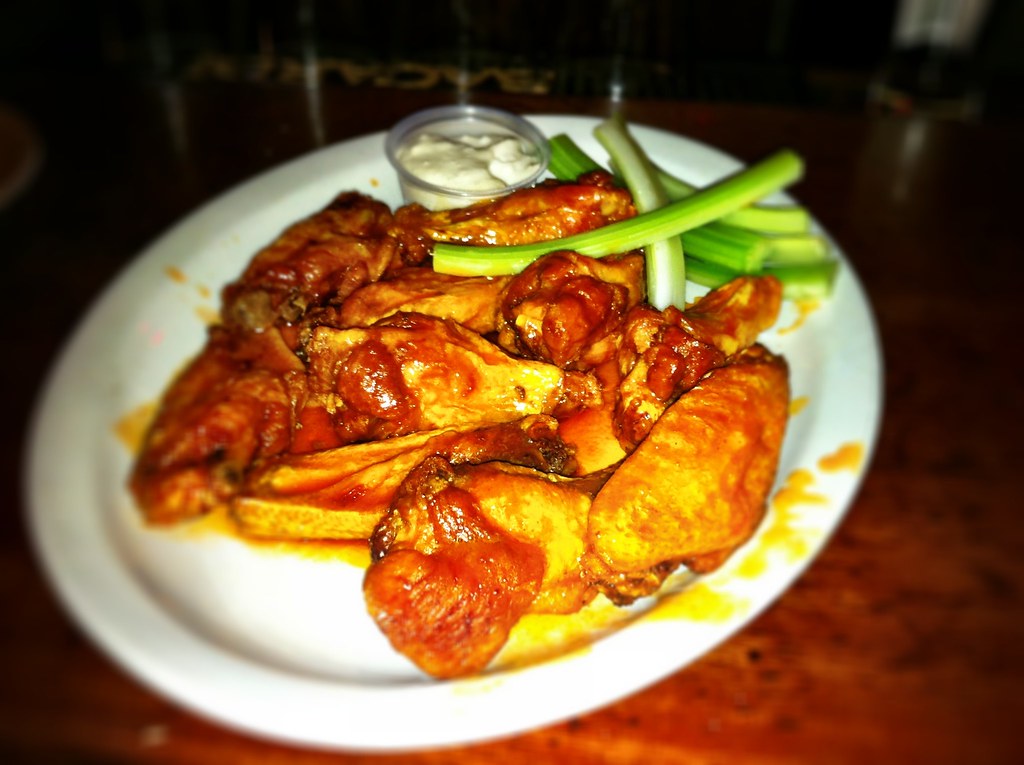
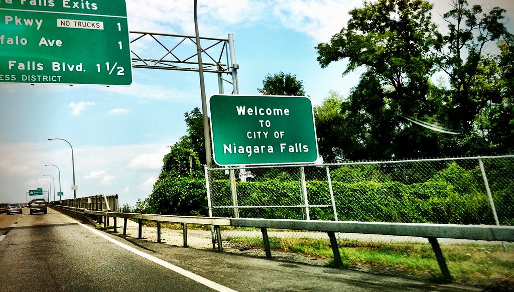
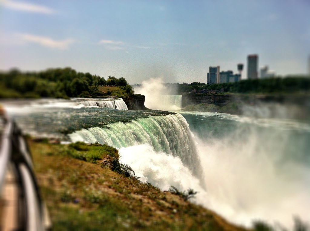
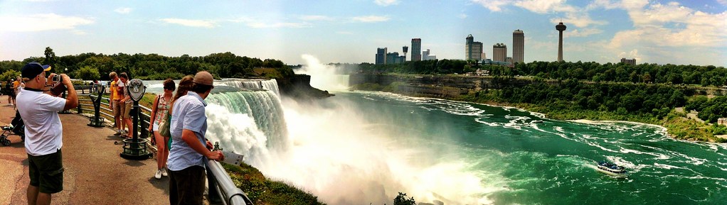
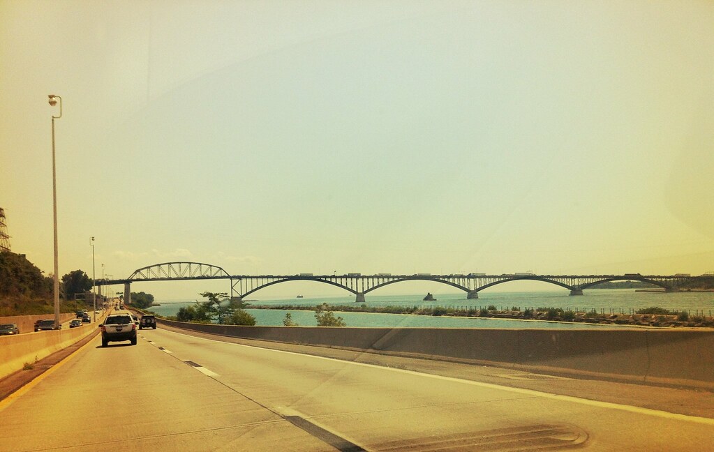
We visited Albany (The capitol of New York), enjoyed Dinosaur Bar-B-Que in my hometown Syracuse (The Best BBQ in the Northeast US), and chicken wings at the Anchor Bar where they were created in Buffalo back in 1964. After a quick detour to see Niagara Falls on the border of Canada we took I-90 west to Wisconsin.
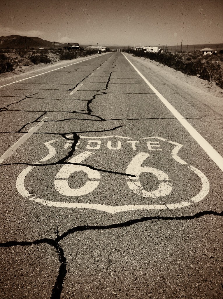
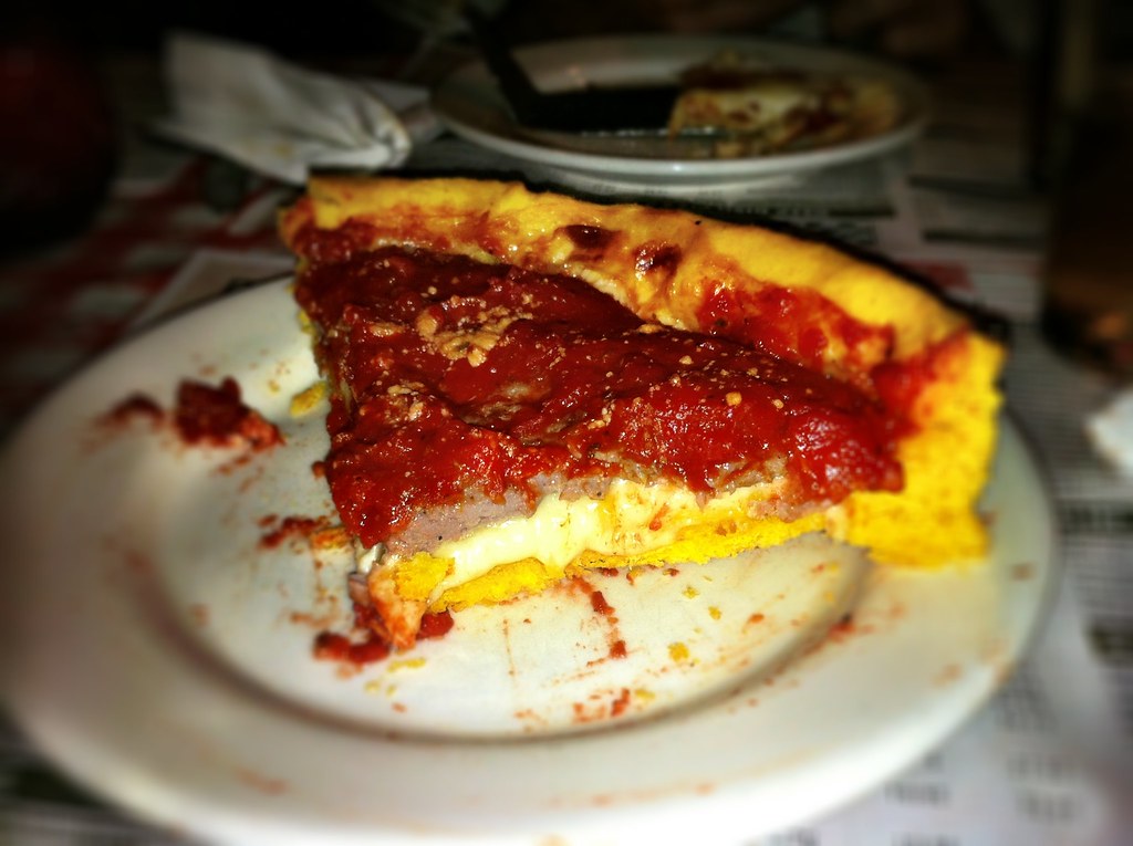
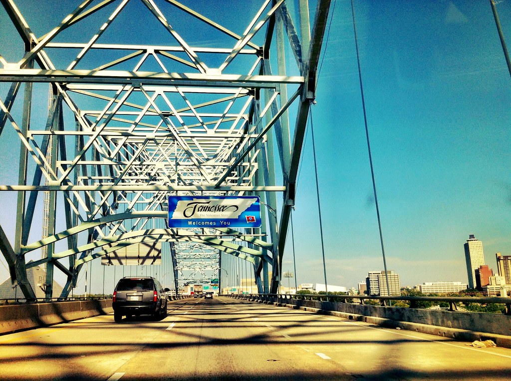
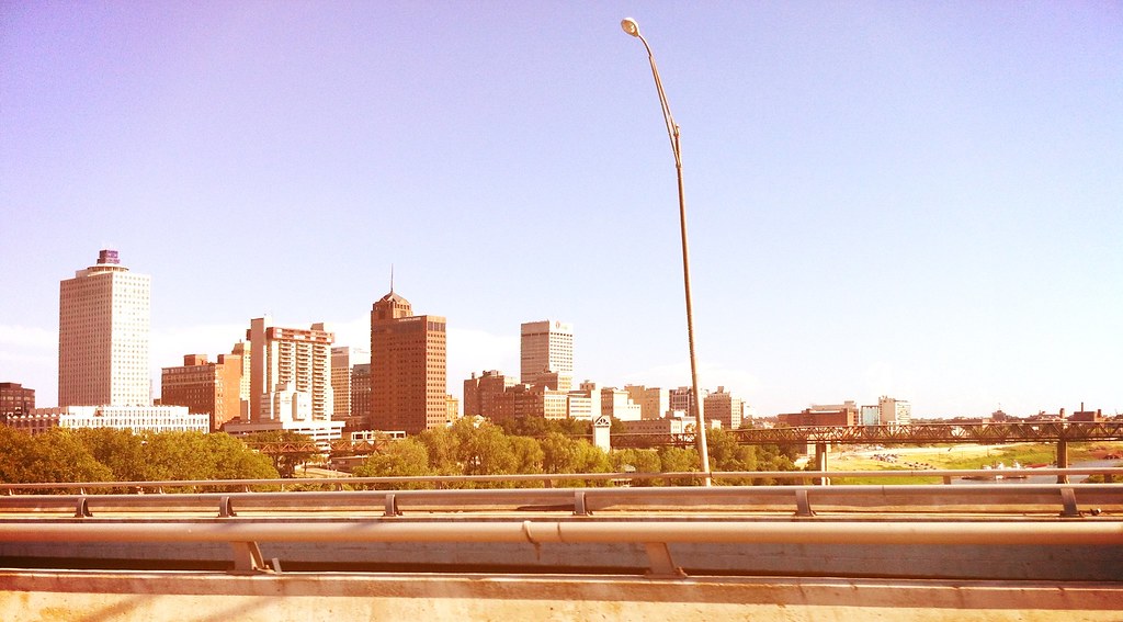
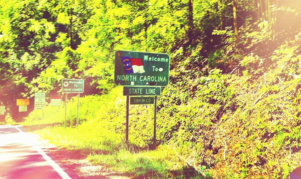
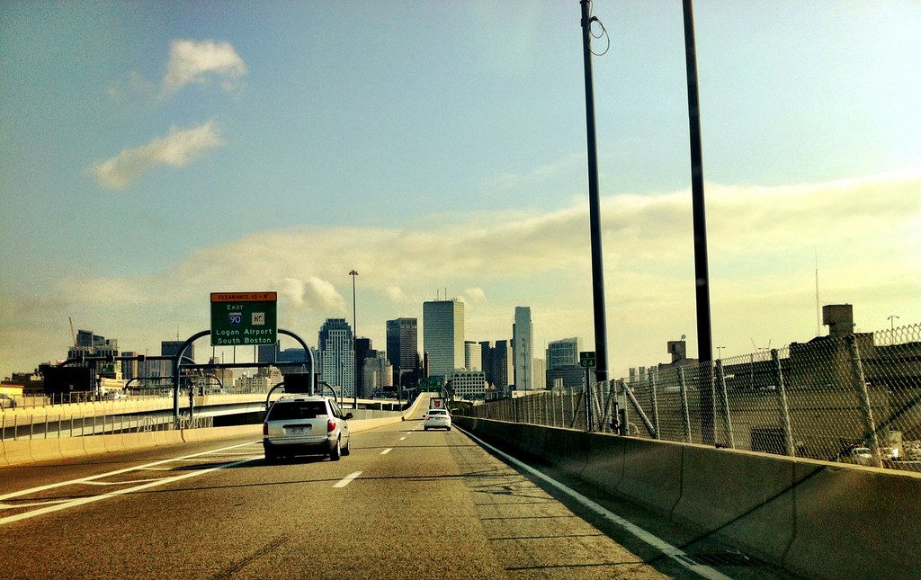
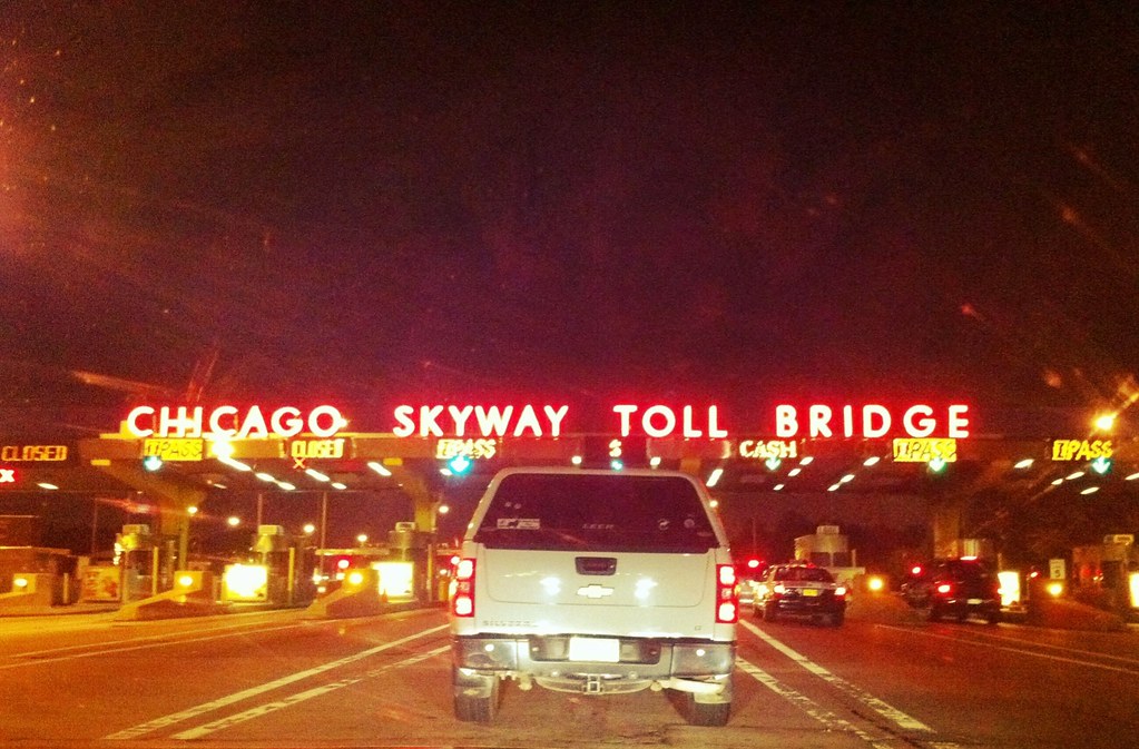
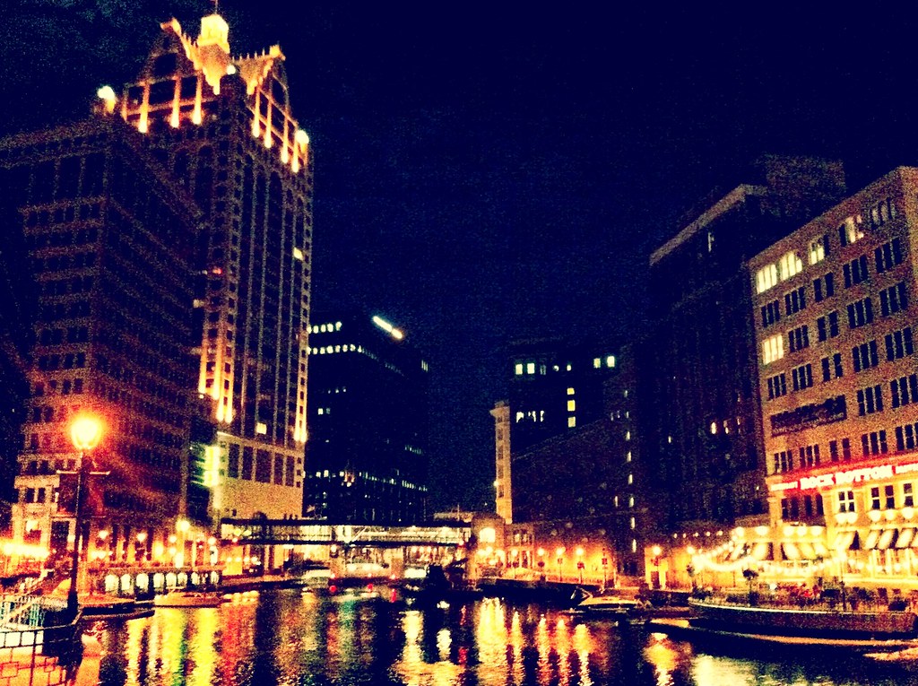
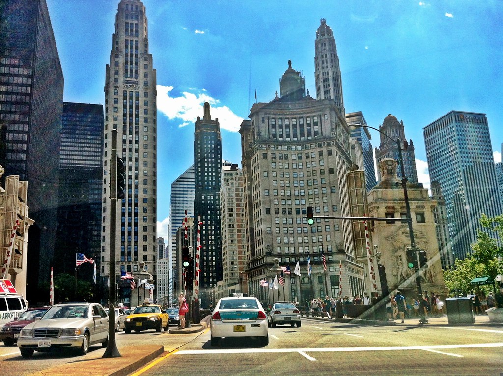
We spent the night in Beer City aka Milwaukee, home to some of the United States most well-known breweries. The next day we drove down to Chicago and enjoyed some deep dish pizza at Gino’s East before officially starting our Route 66 portion of the trip and heading out of Chicago.
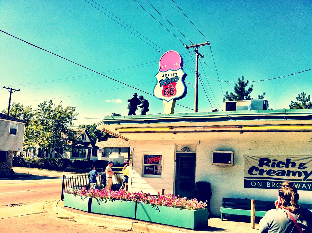
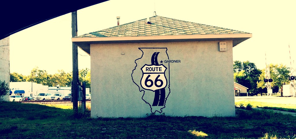
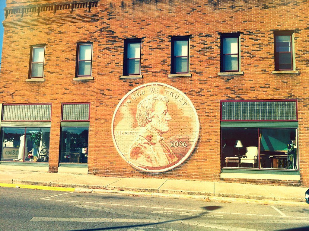
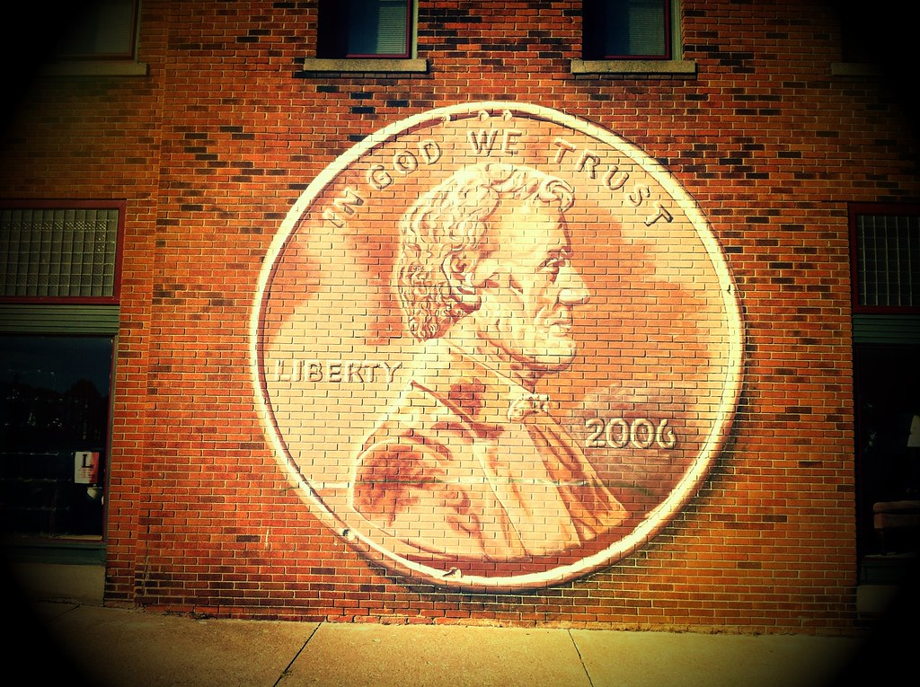
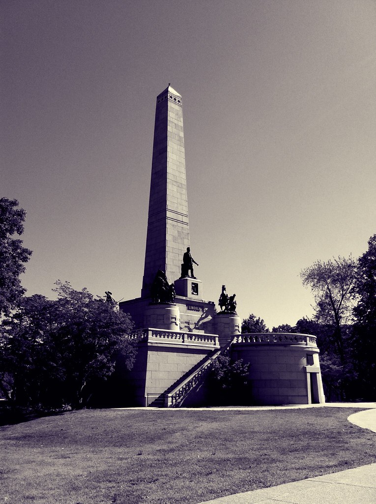
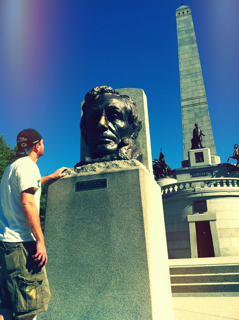
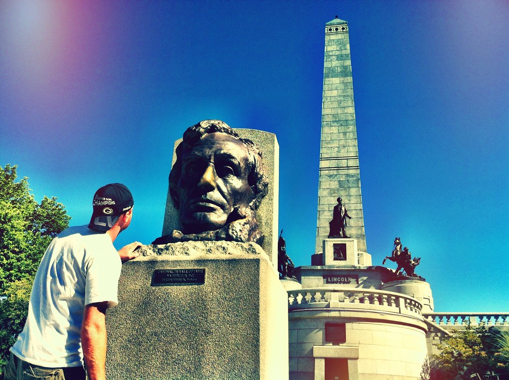
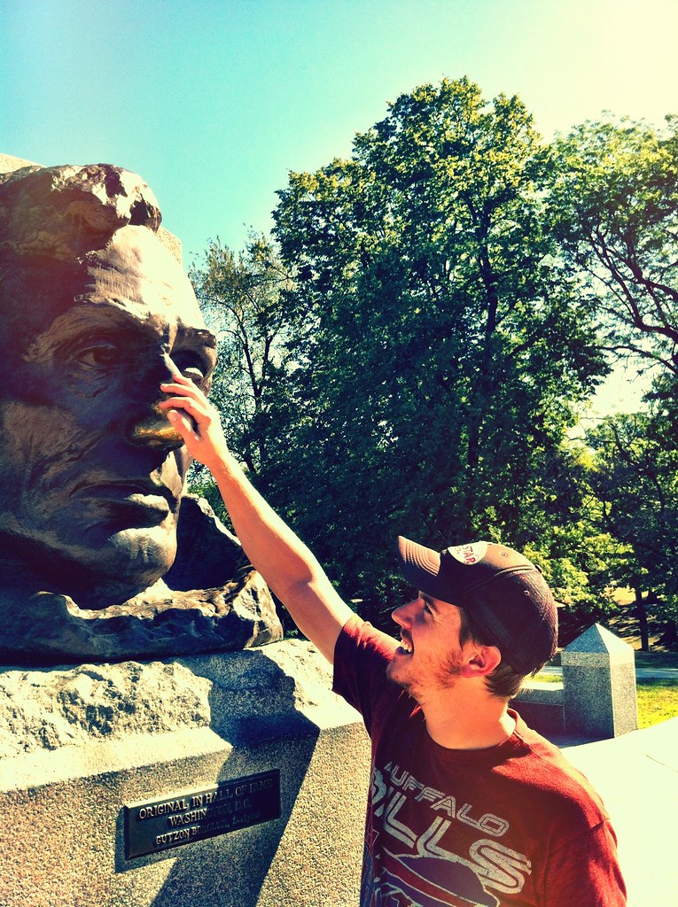
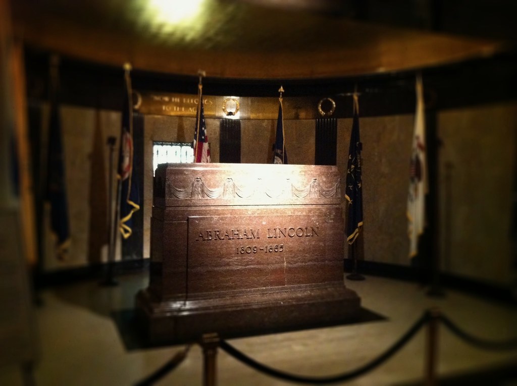
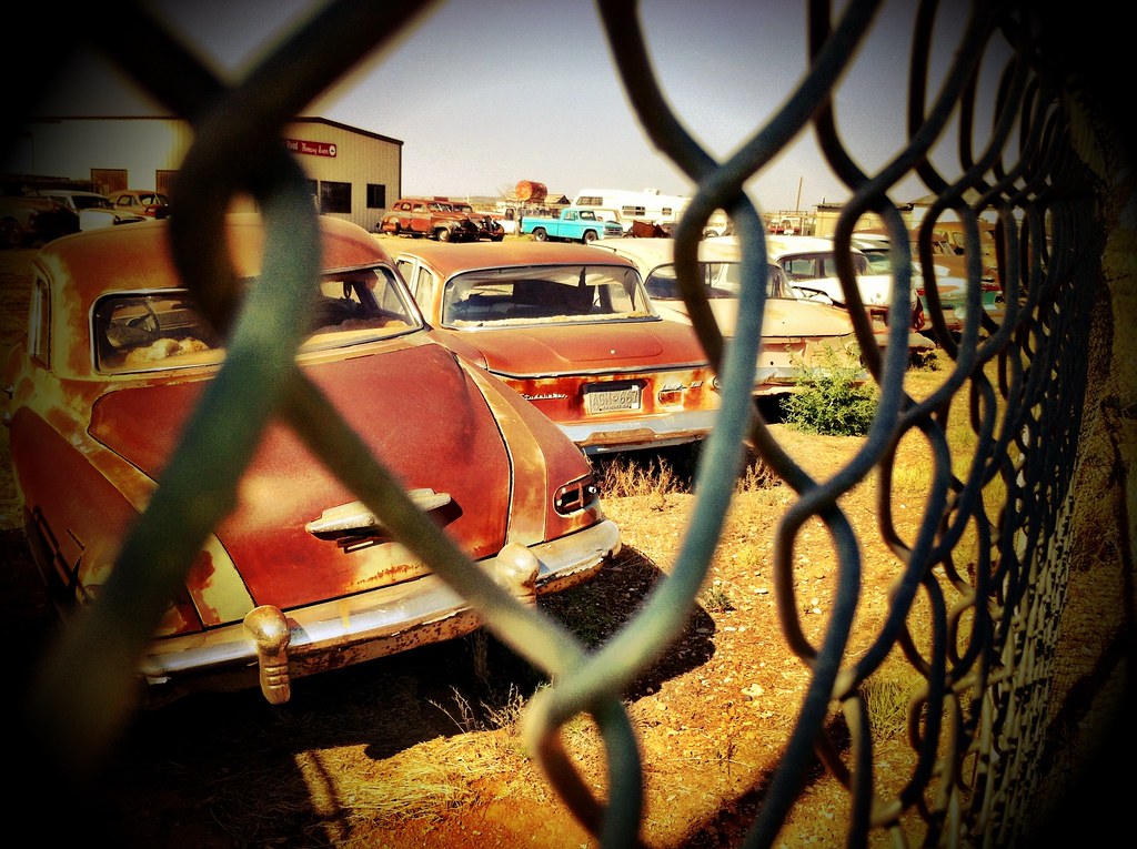
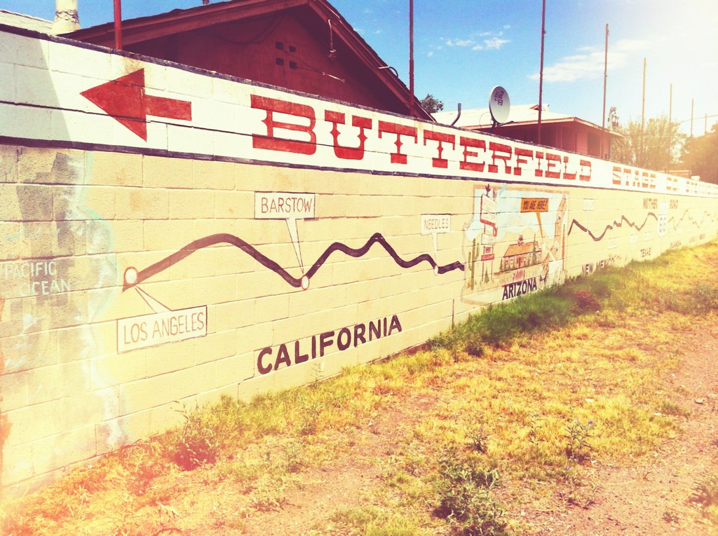
Our first official stop on Route 66 was for some ice cream in Joilet, the city known for it’s scenes in the movie The Blues Brothers. From Joilet we continued deep into the “Land of Lincoln” where it’s easy to spot Abraham Lincoln everywhere from license plates and walls to the the world’s largest covered wagon. We stopped in Springfield to visit his grave and rub his bronze nose for good luck on our journey.
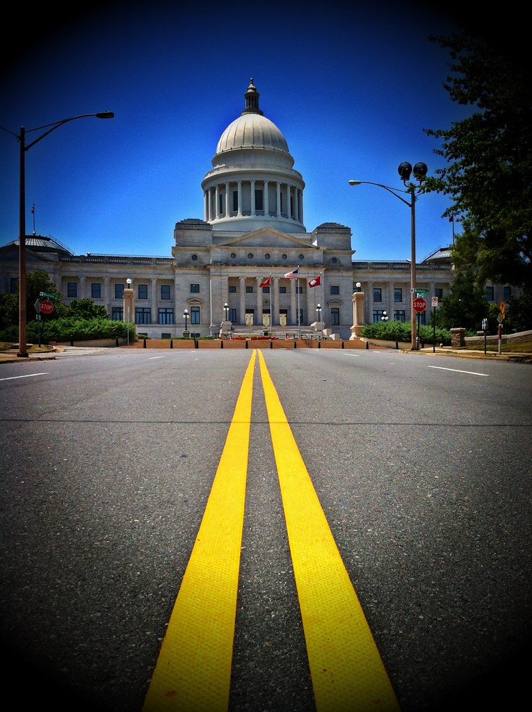
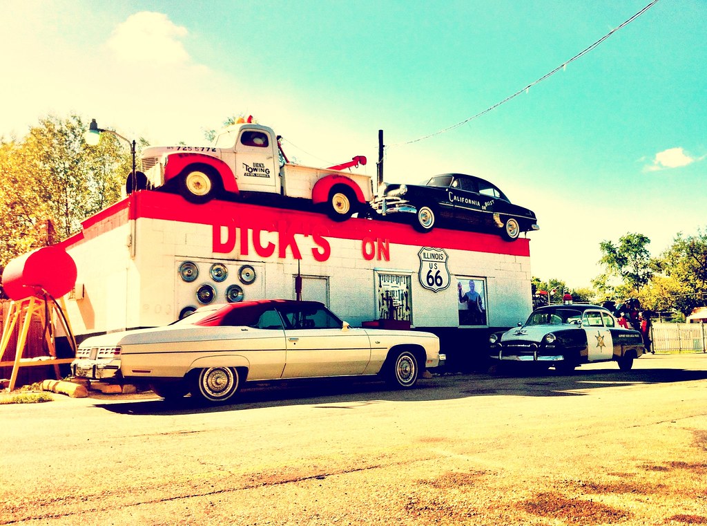
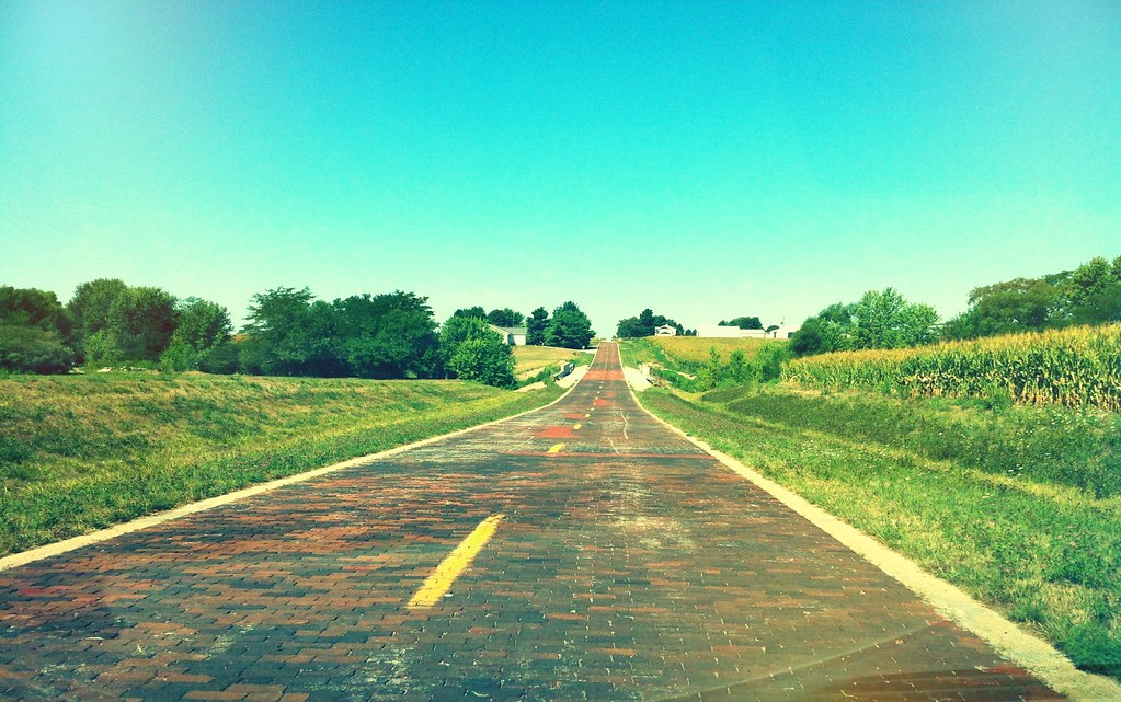
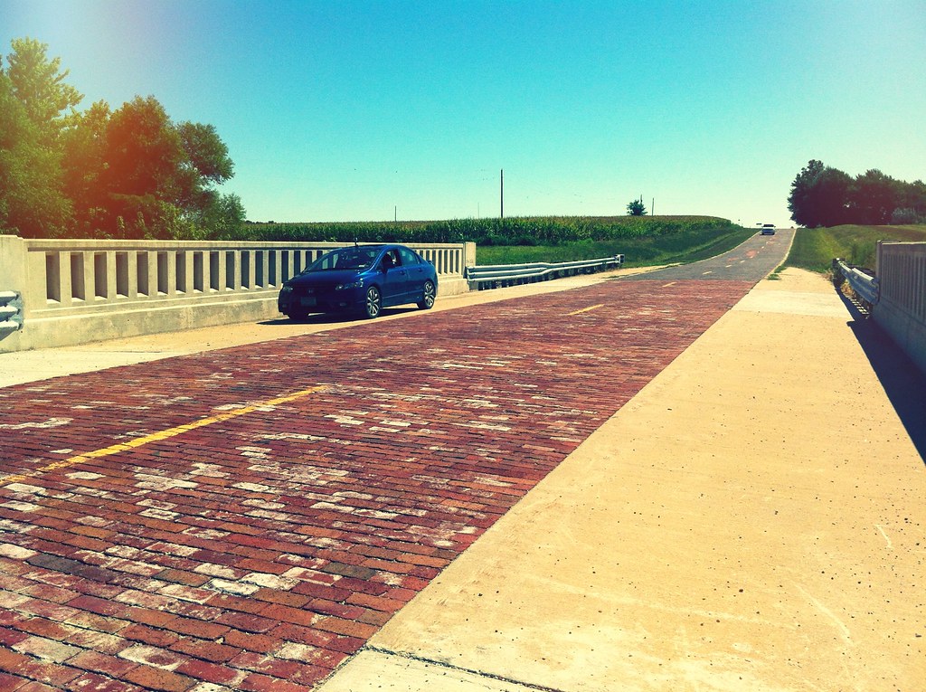
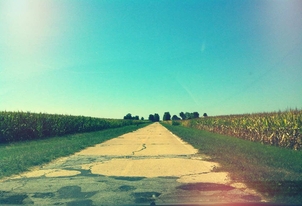
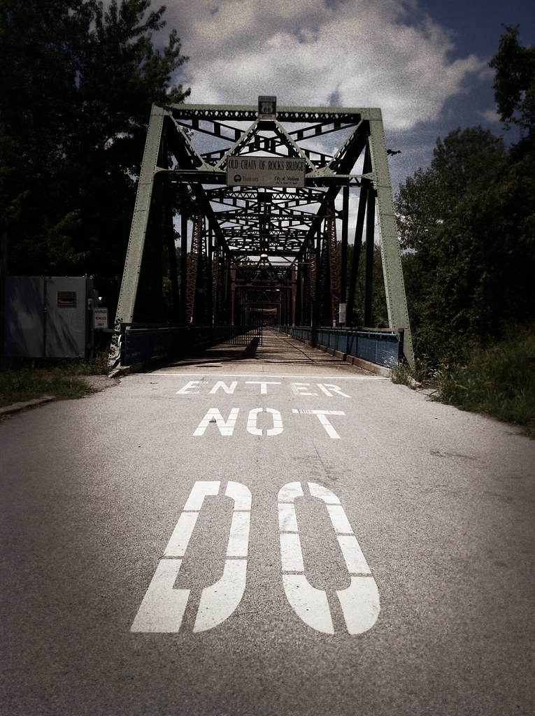
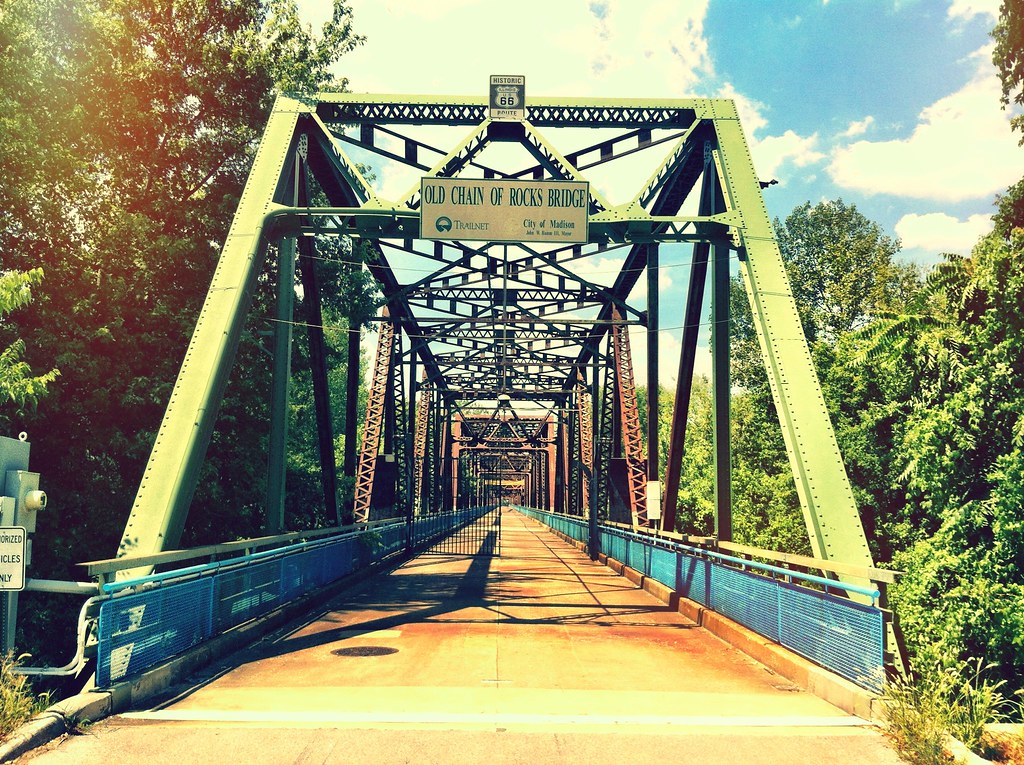
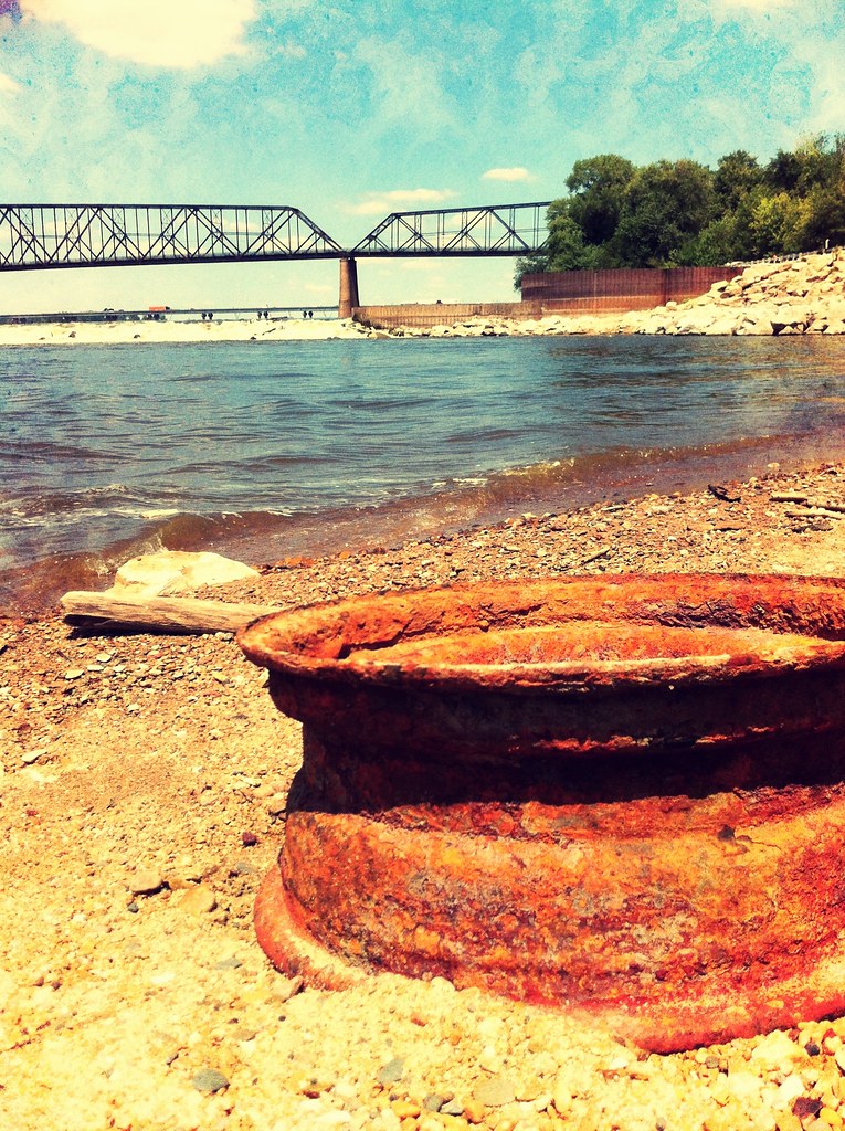
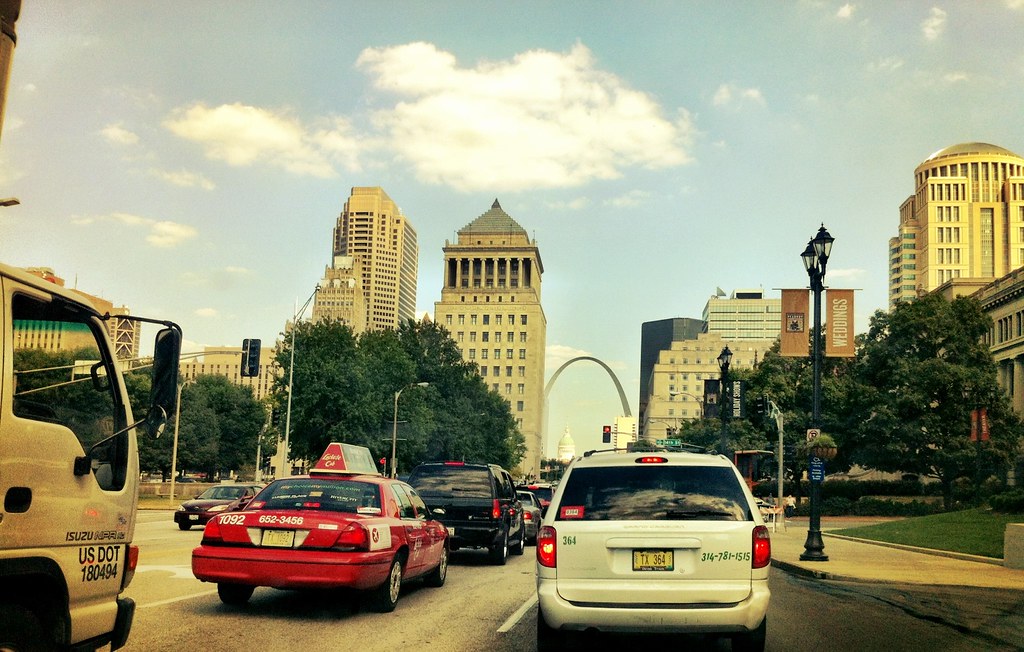
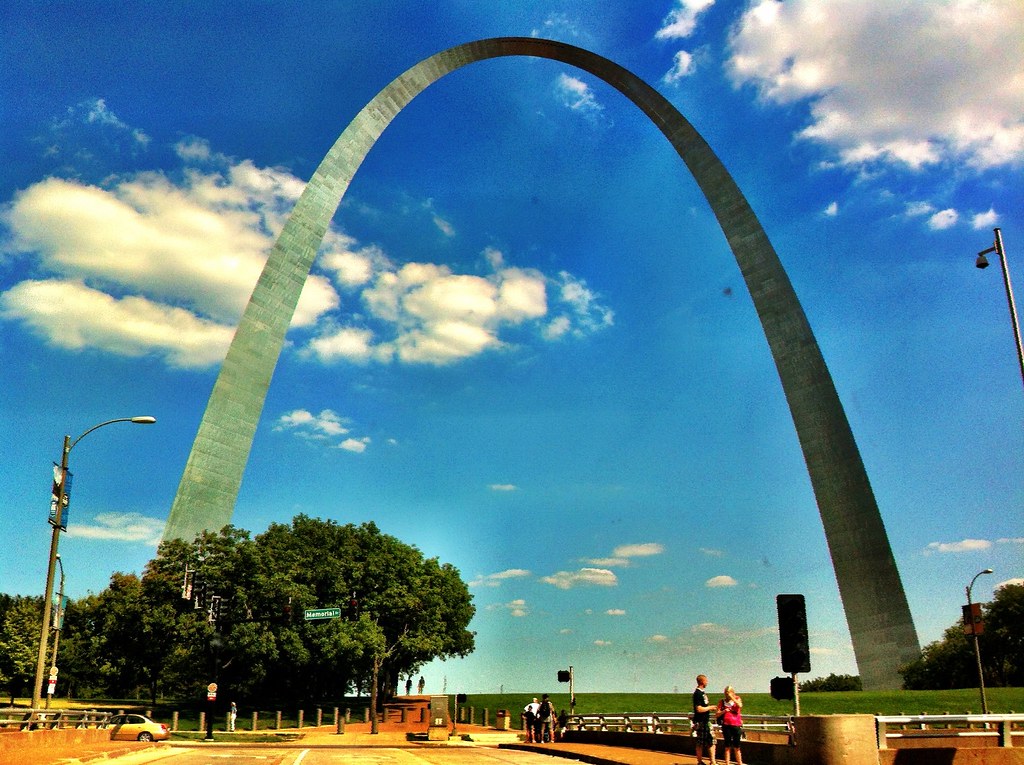
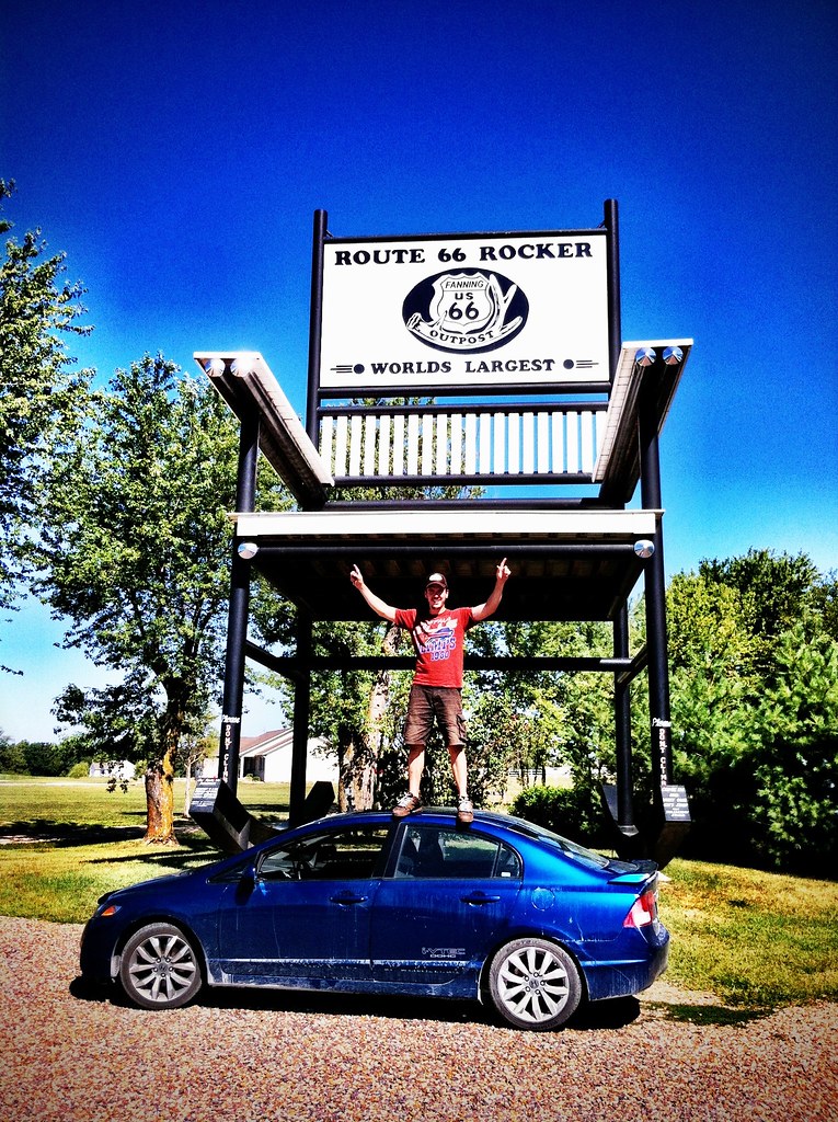
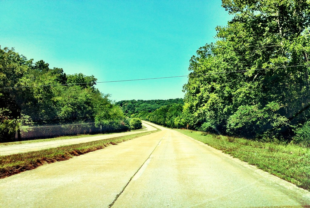
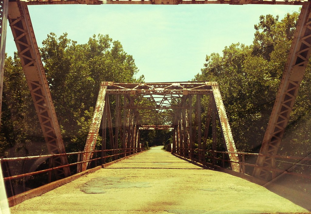
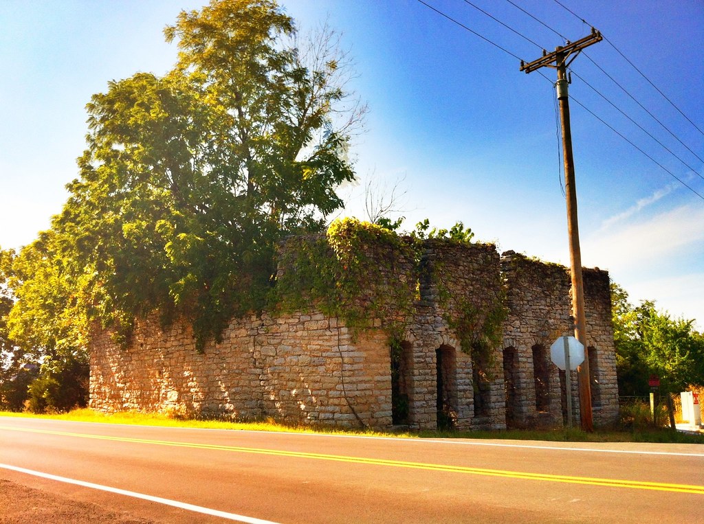
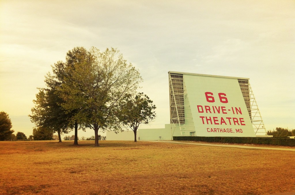
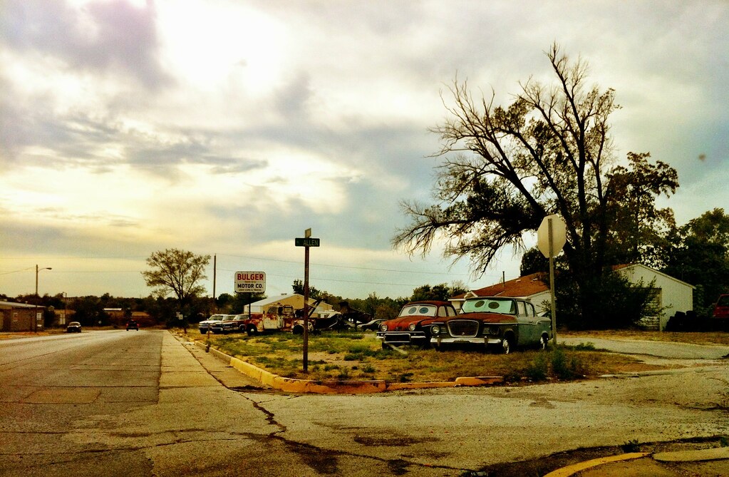
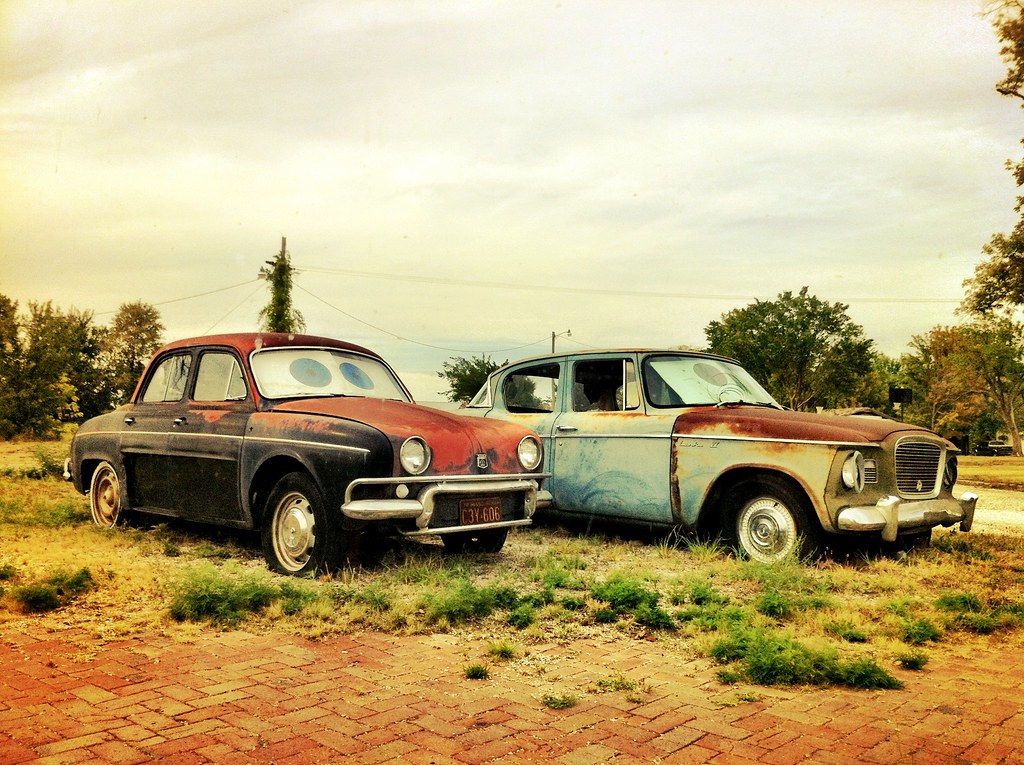
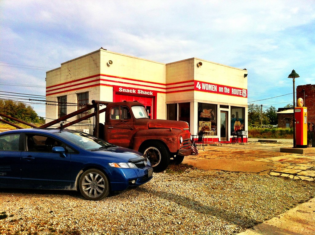
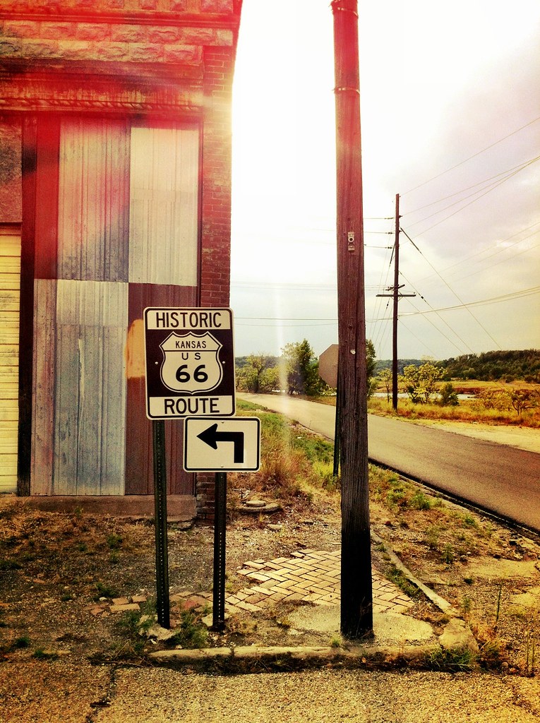
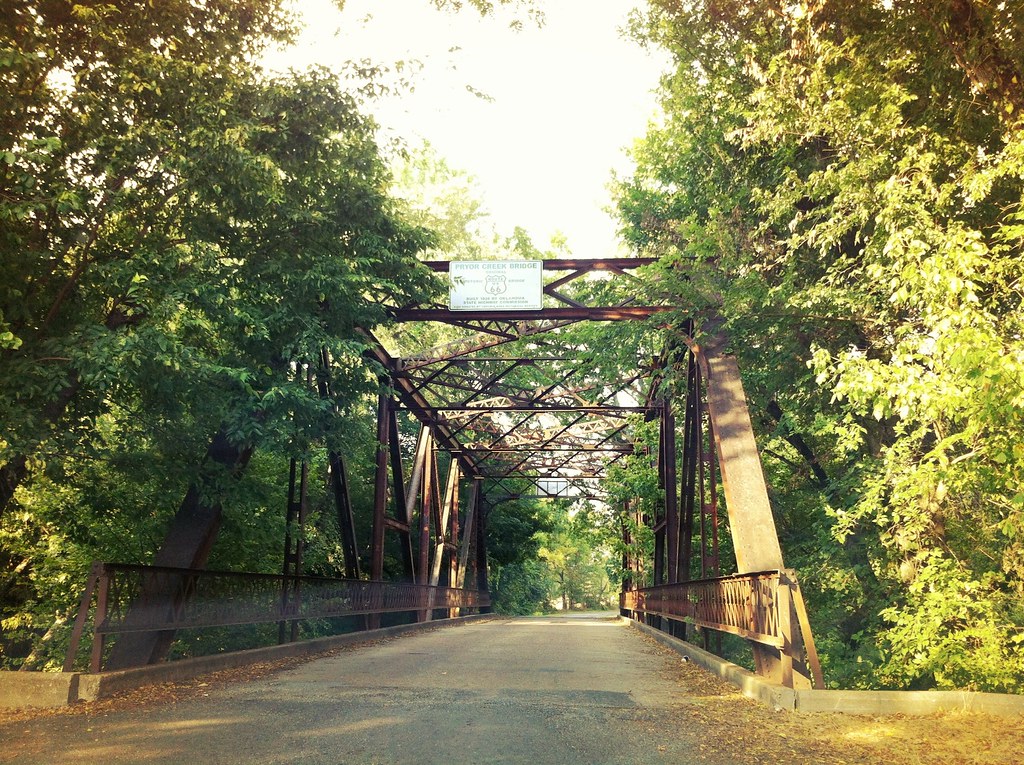
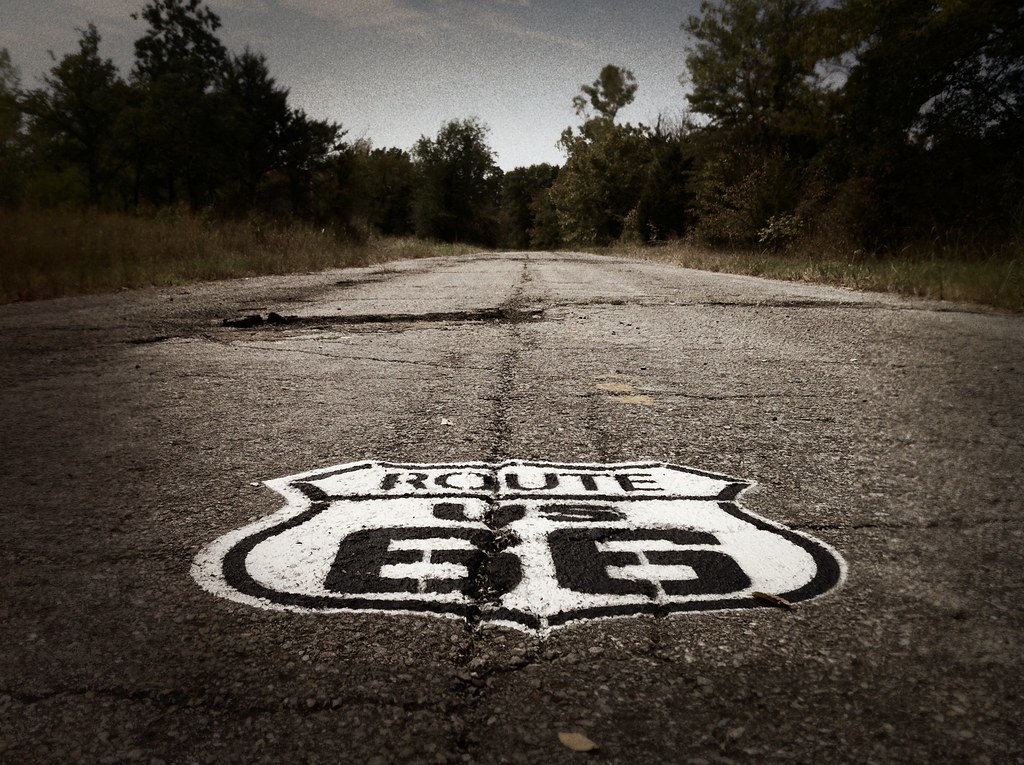
From Illinois, we drove into St. Louis Missouri for a stop at the iconic Gateway Arch. After St. Louis we saw the world’s largest rocking chair in Cuba, Missouri. We then traveled down one of the preserved doublewide portions of Route 66 in Devil’s Elbow and stopped for lunch at the Elbow Inn. From Devil’s Elbow we continued westward through Springfield and into Joplin before exiting Missouri for the short stint of Route 66 that goes through Kansas.
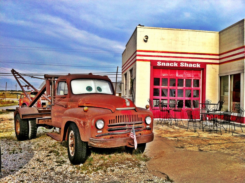
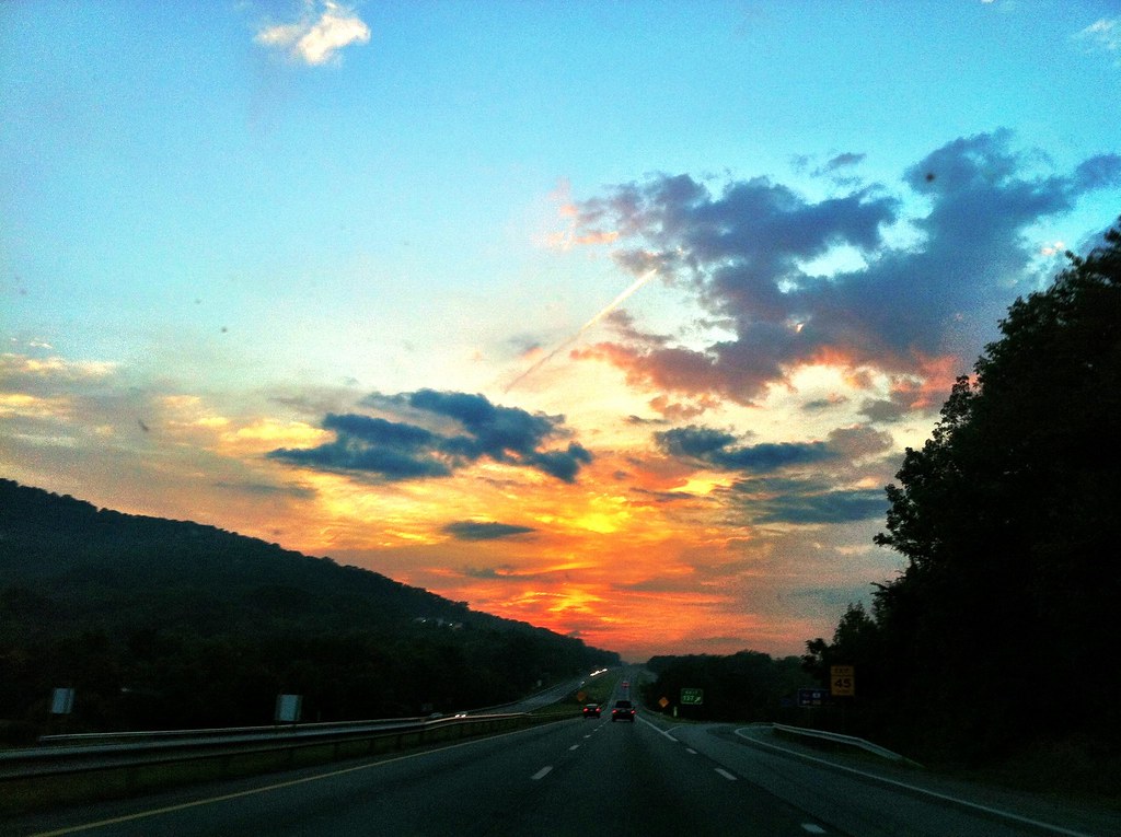
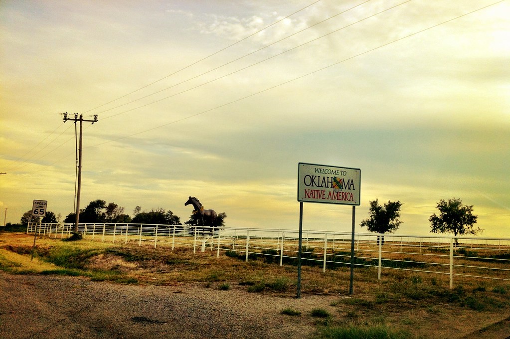
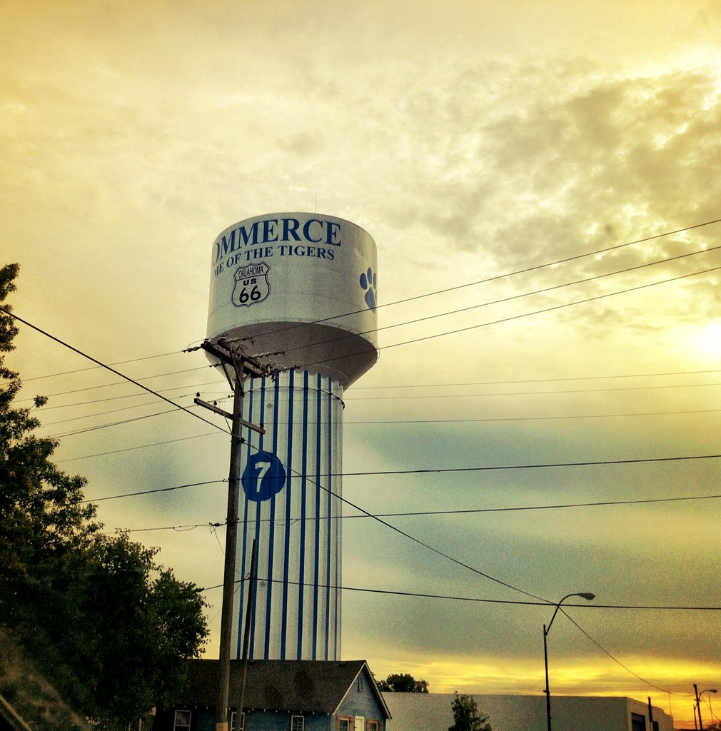
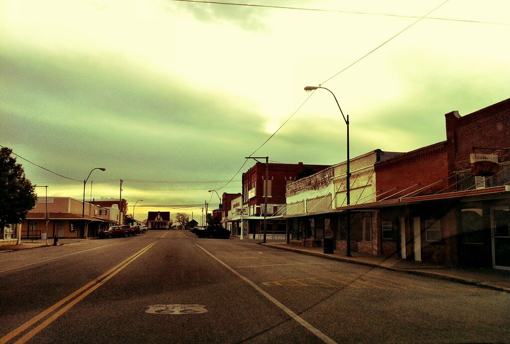
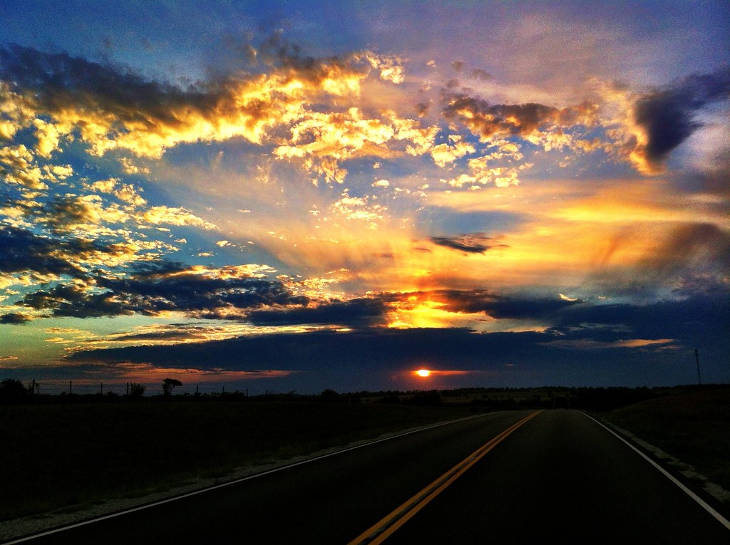
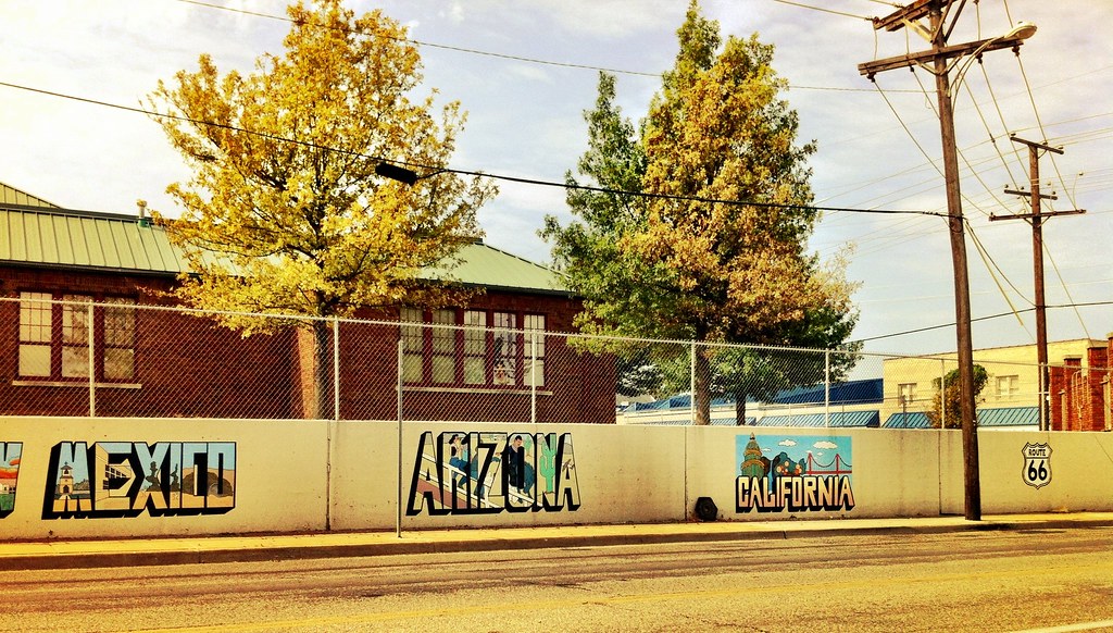
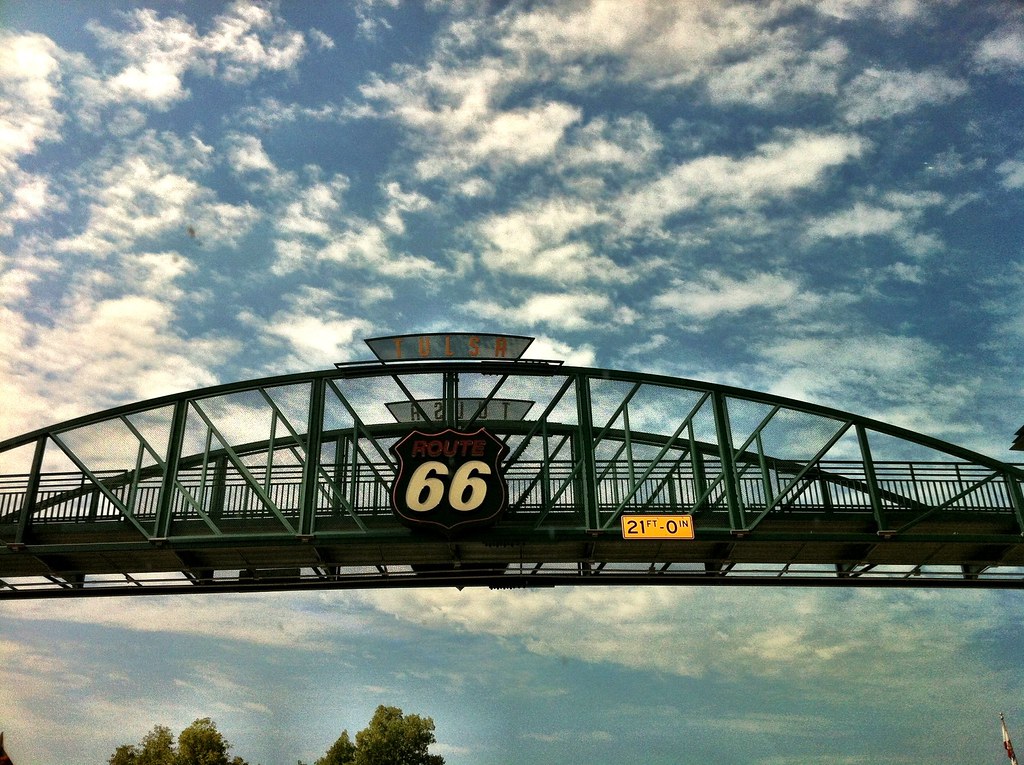
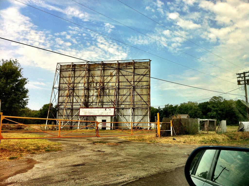
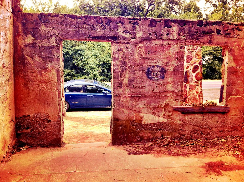
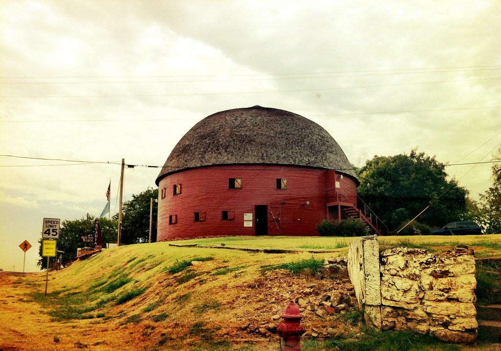
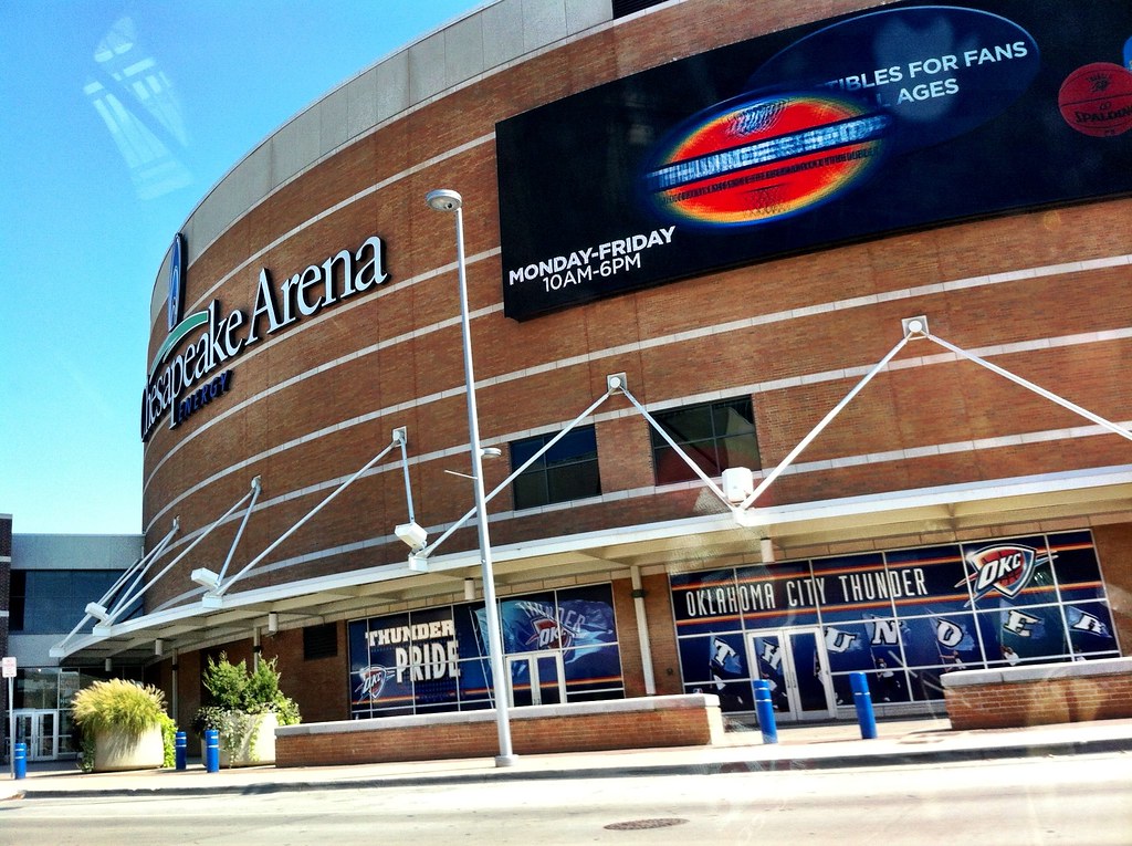
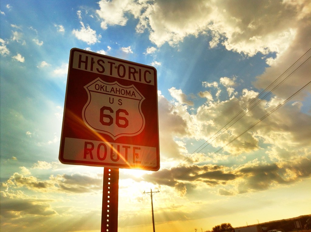
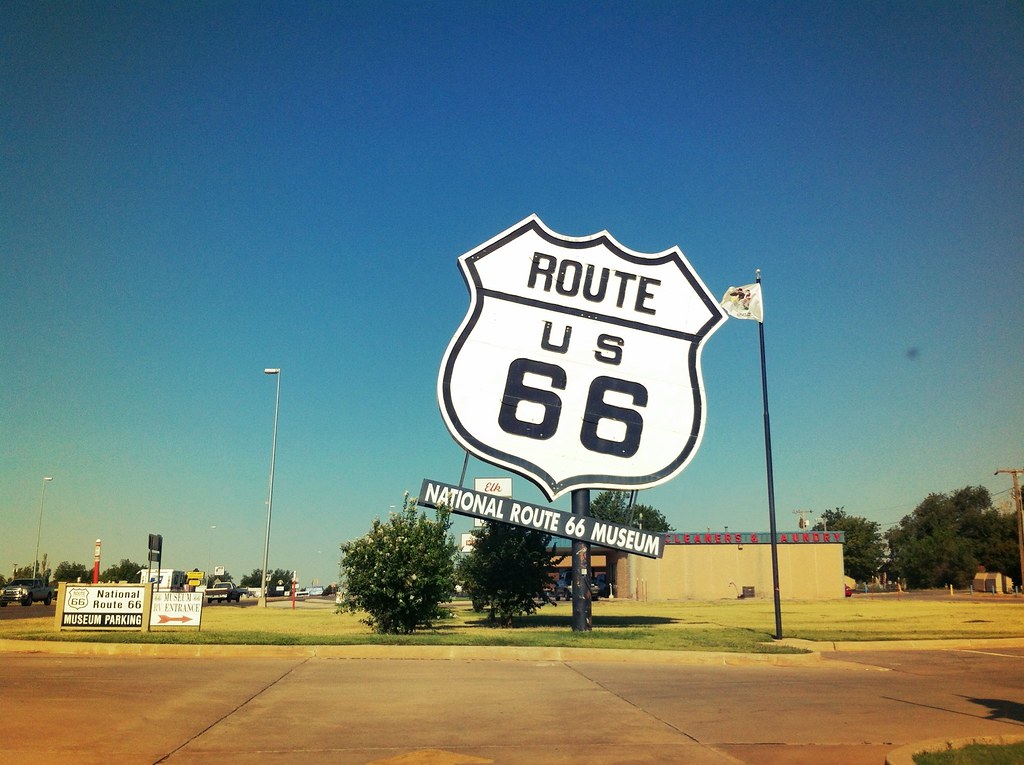
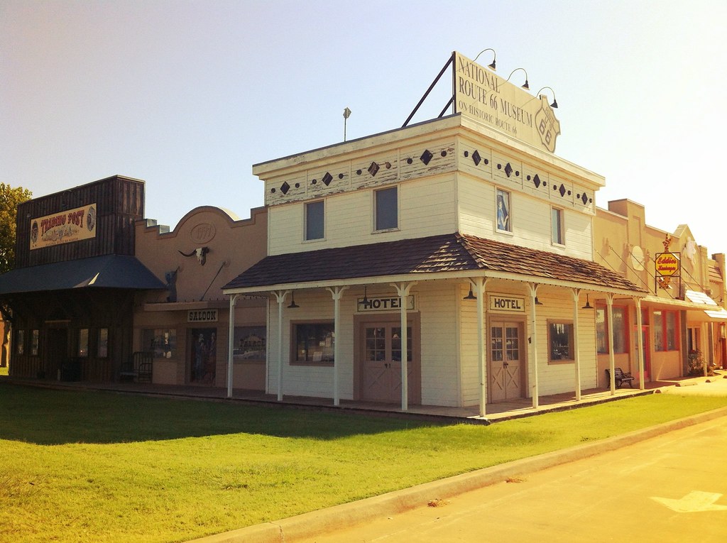
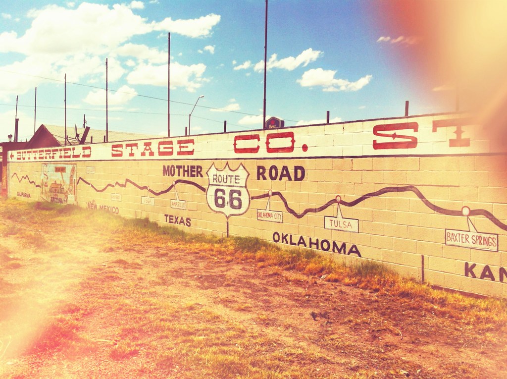
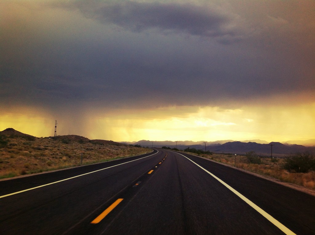
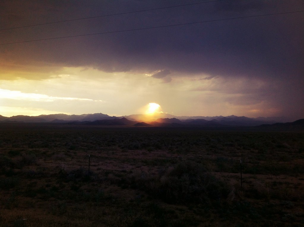
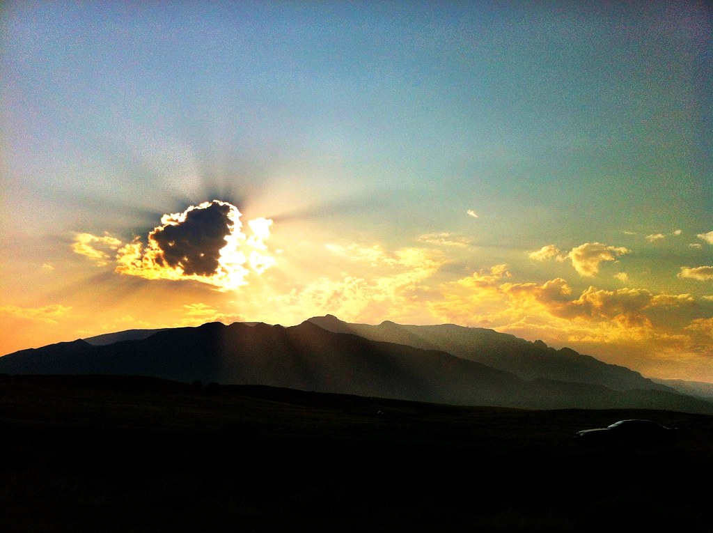
The brief section of Kansas on Route 66 has Galena, a place that inspired “Radiator Springs” (the town from Disney’s Cars). There is even a full-size character “Mater” on display. After Galena, we began the Oklahoma portion of the trip stopping in Chandler to check out a Route 66 Interpretive Center that had tons of great information about the Mother Road along with photos and videos. After Chandler, we headed through Tulsa and stopped in Oklahoma City for lunch before continuing on into one of the best sunsets of the trip in West Oklahoma.
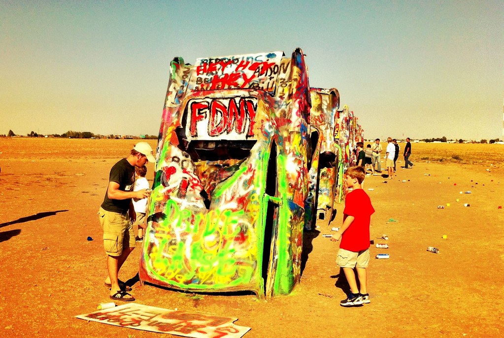
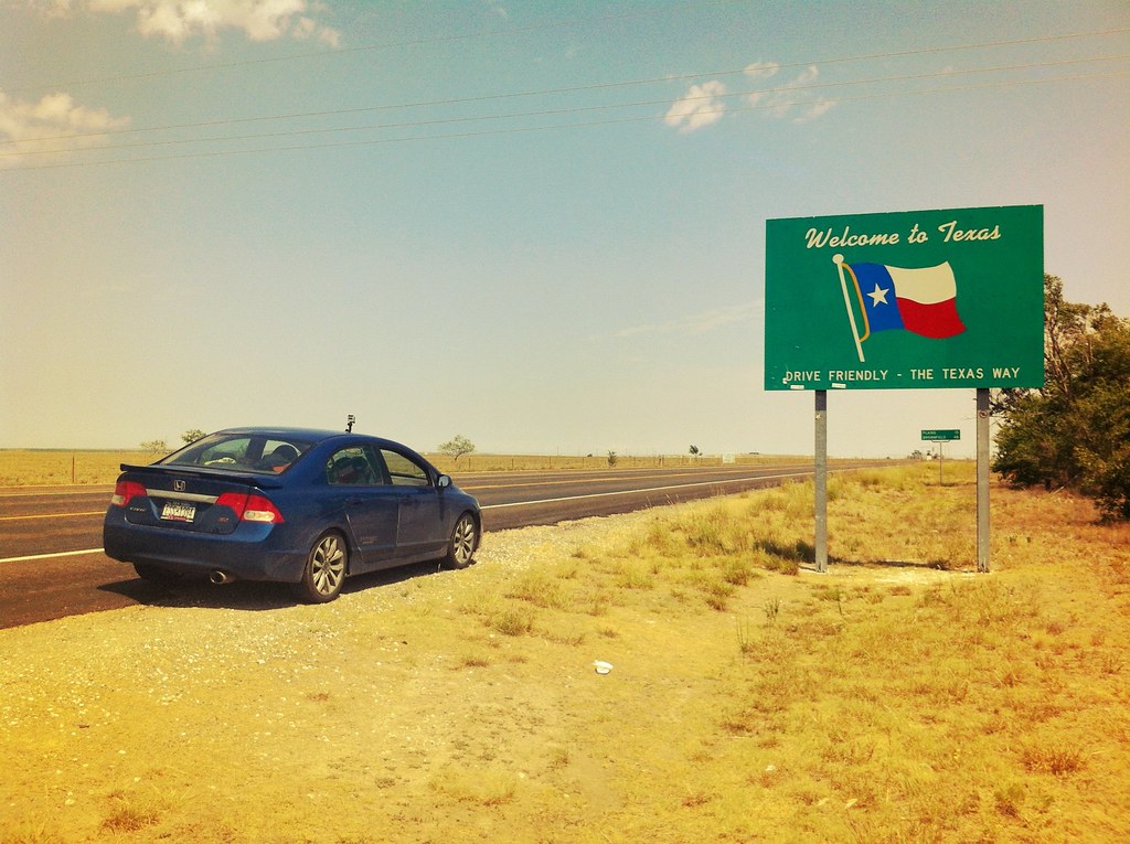
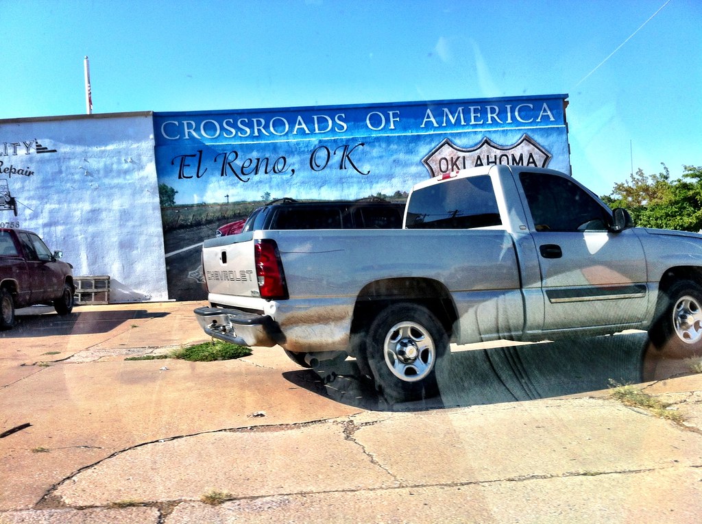
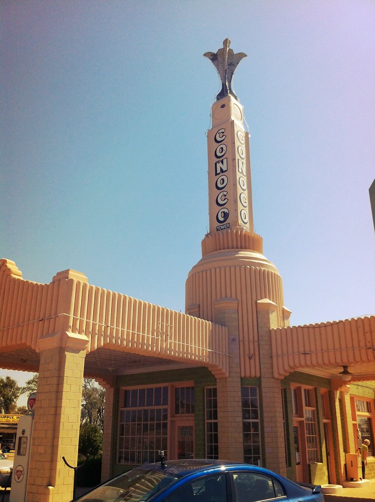
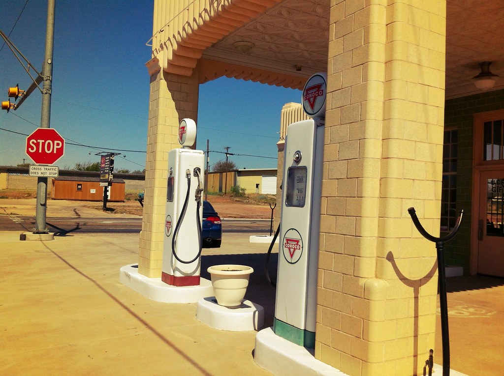
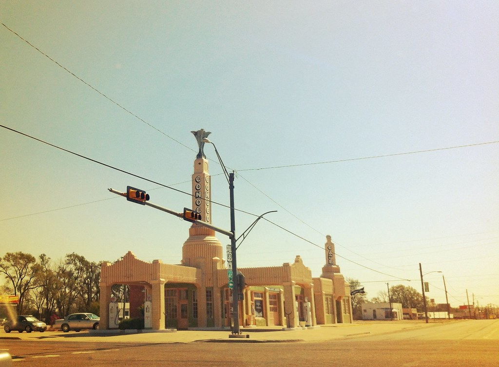
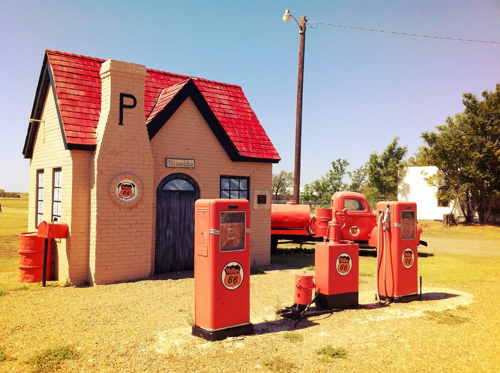
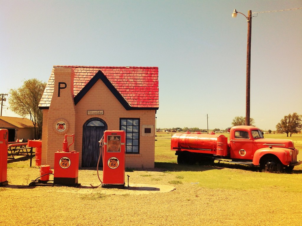
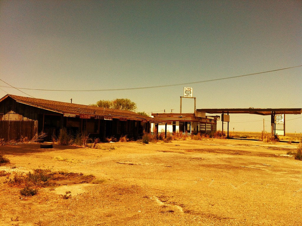
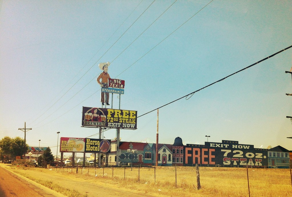
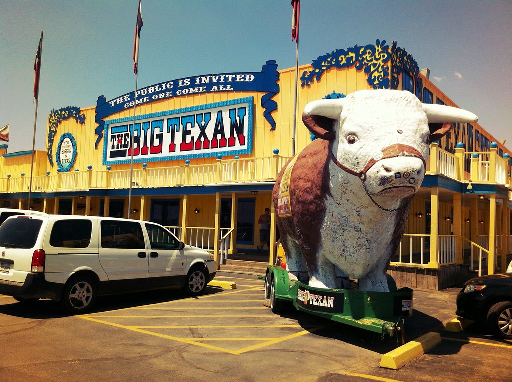
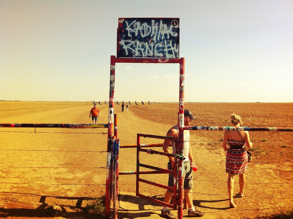
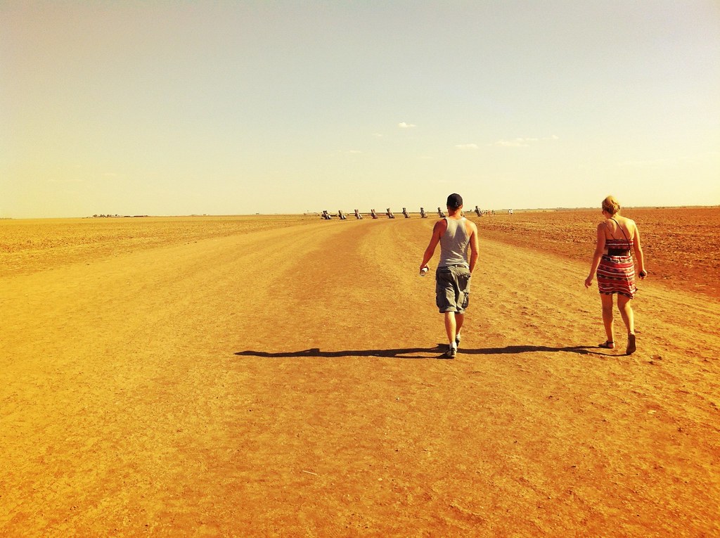
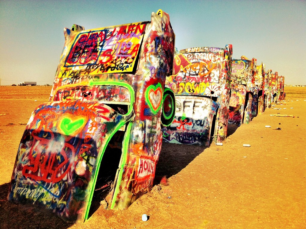
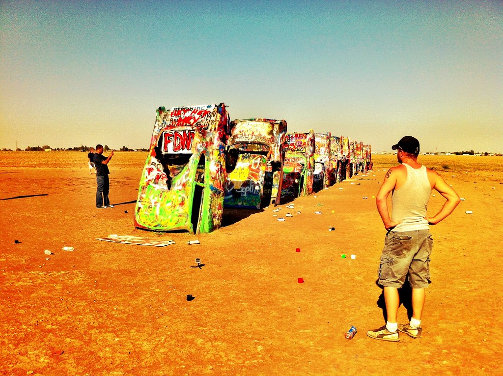
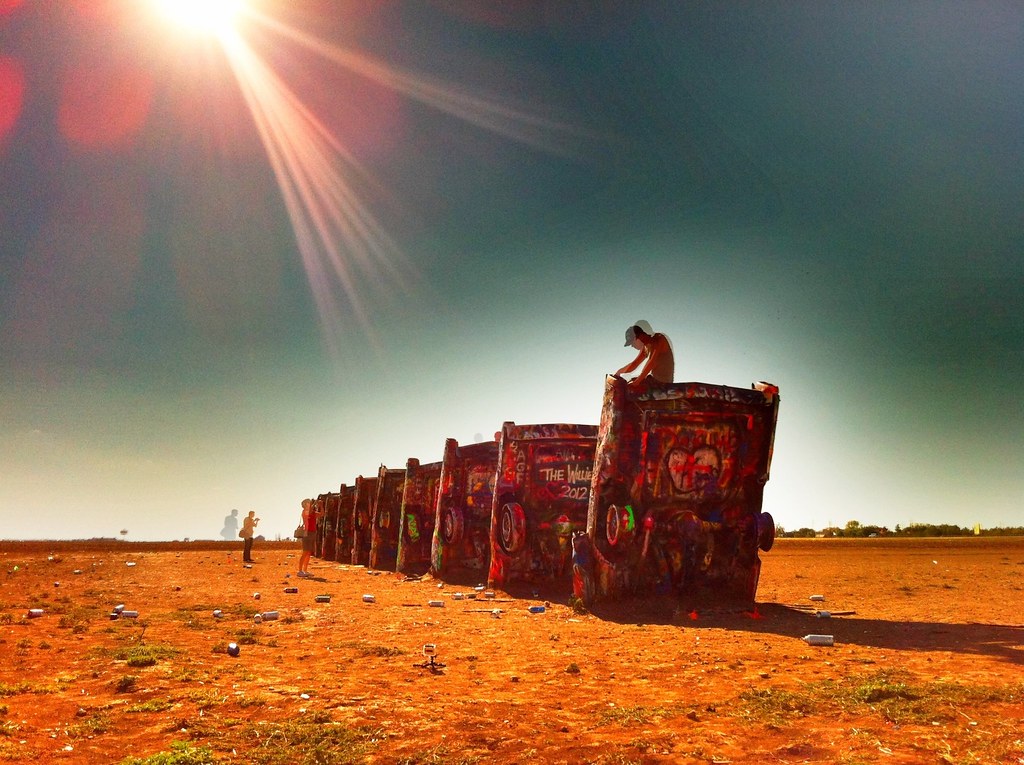
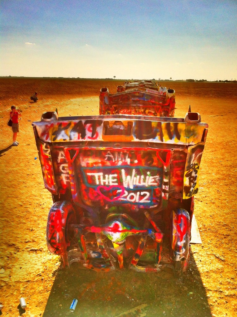
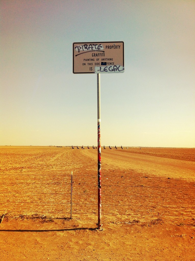
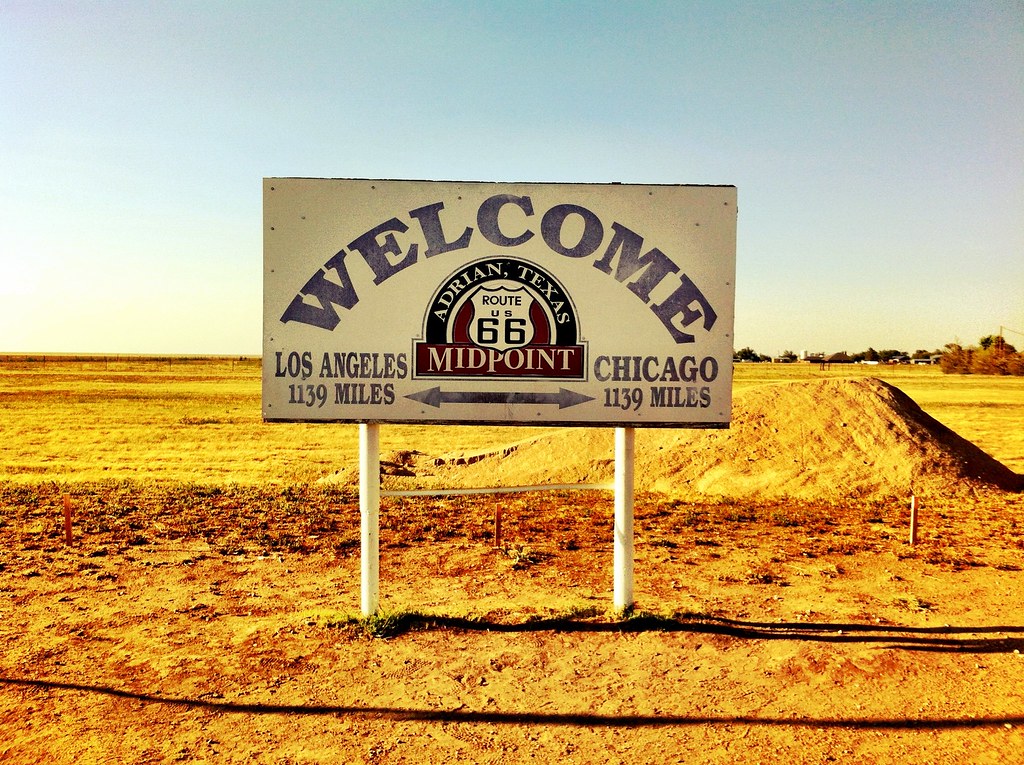
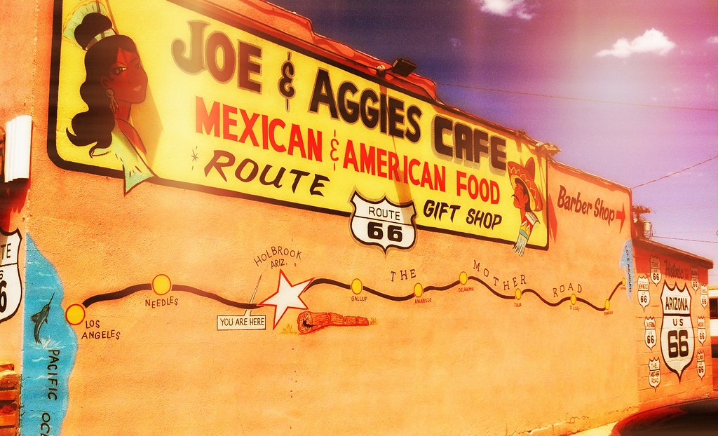
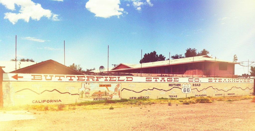
After Leaving Oklahoma we began the Texas portion of Route 66. As soon as we got to Amarillo we made sure we had big appetites for lunch at the Big Texan (Home of the free 72 oz. steak). The steak is only free if you can eat the whole thing so we opted for the 18 oz. instead which fed us for both lunch and dinner. With full bellies we made a quick stop at Wal-Mart for some spray paint and headed over to Cadillac Ranch to leave our mark before continuing into New Mexico.
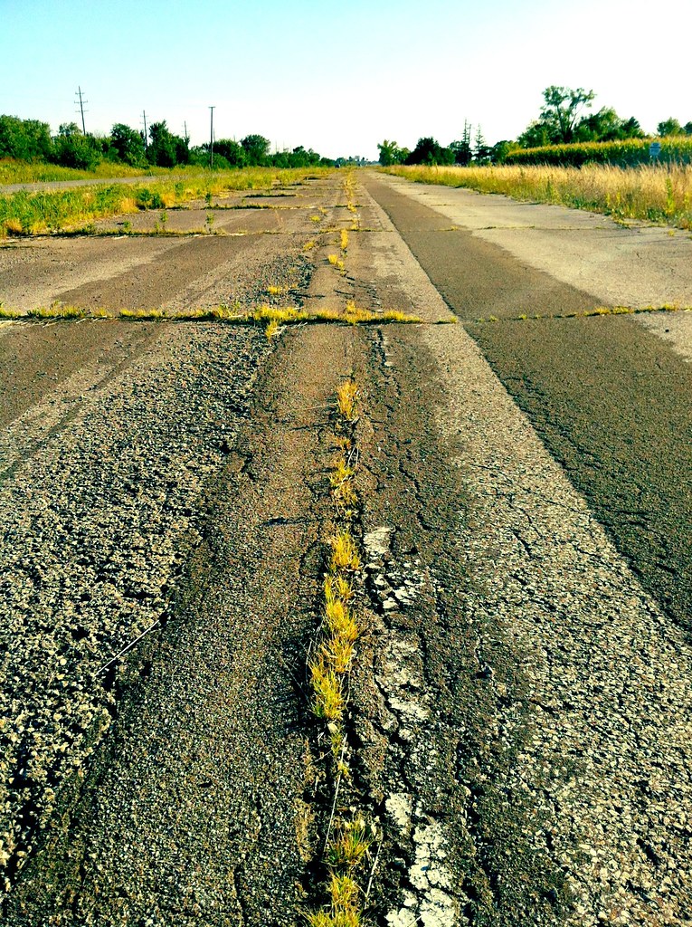
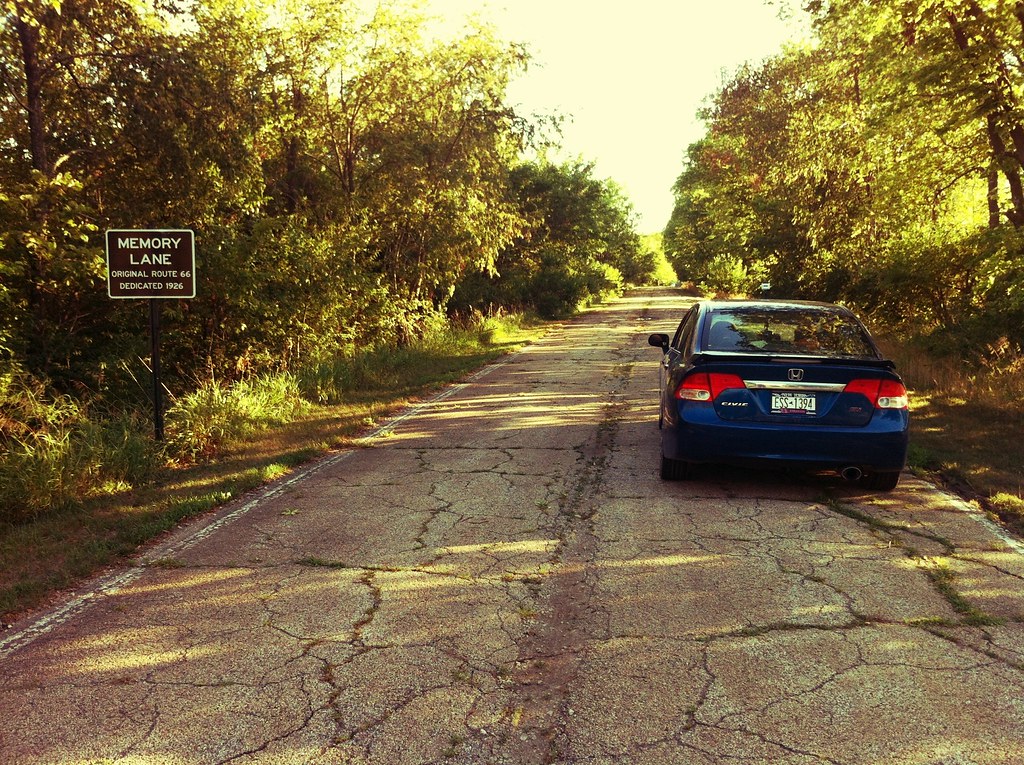
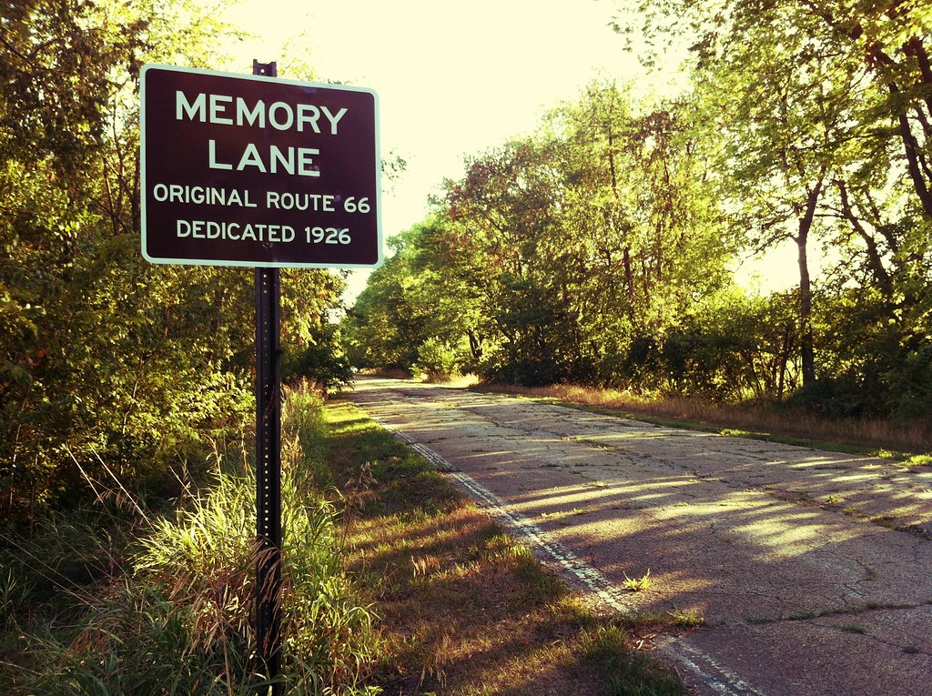
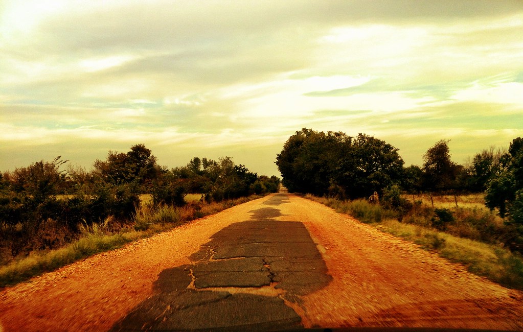
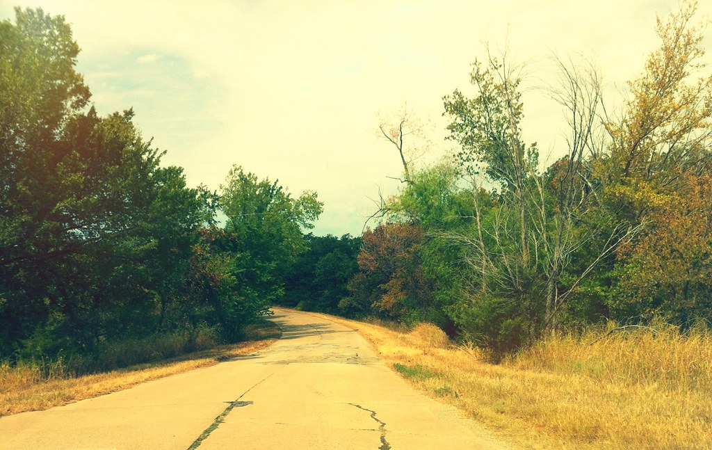
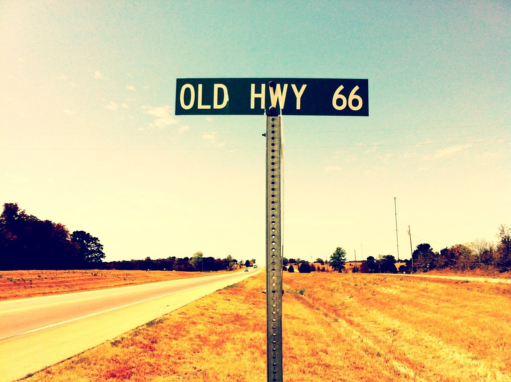
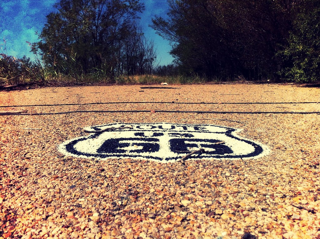
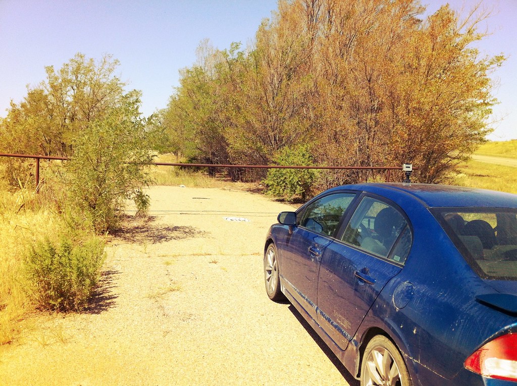
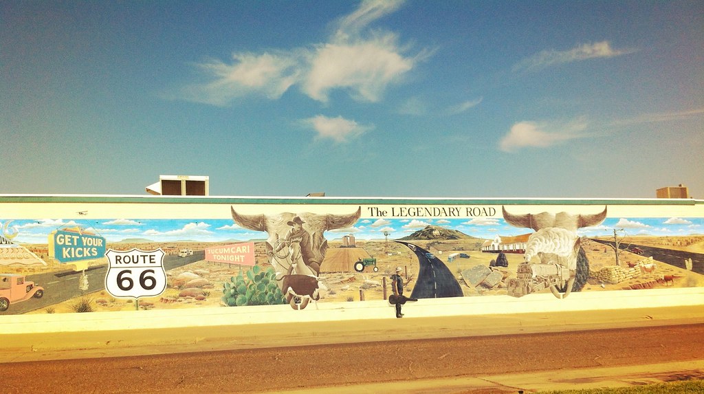
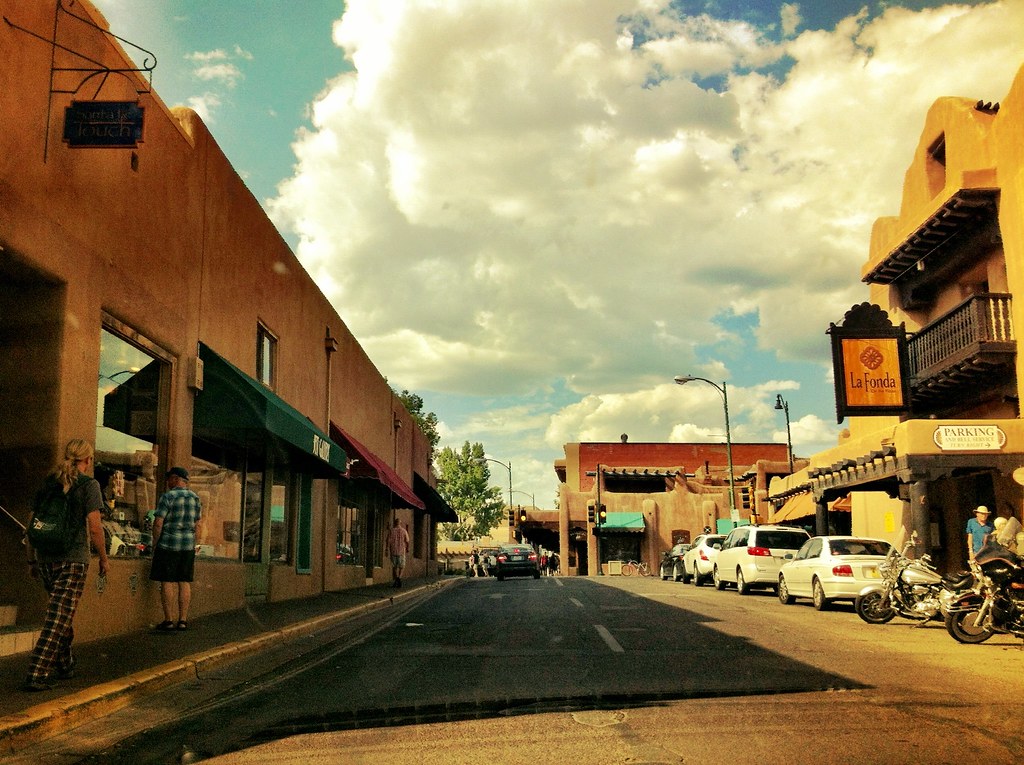
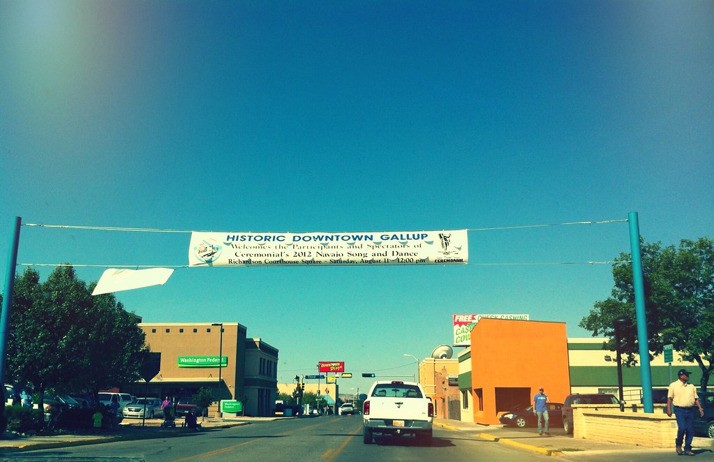
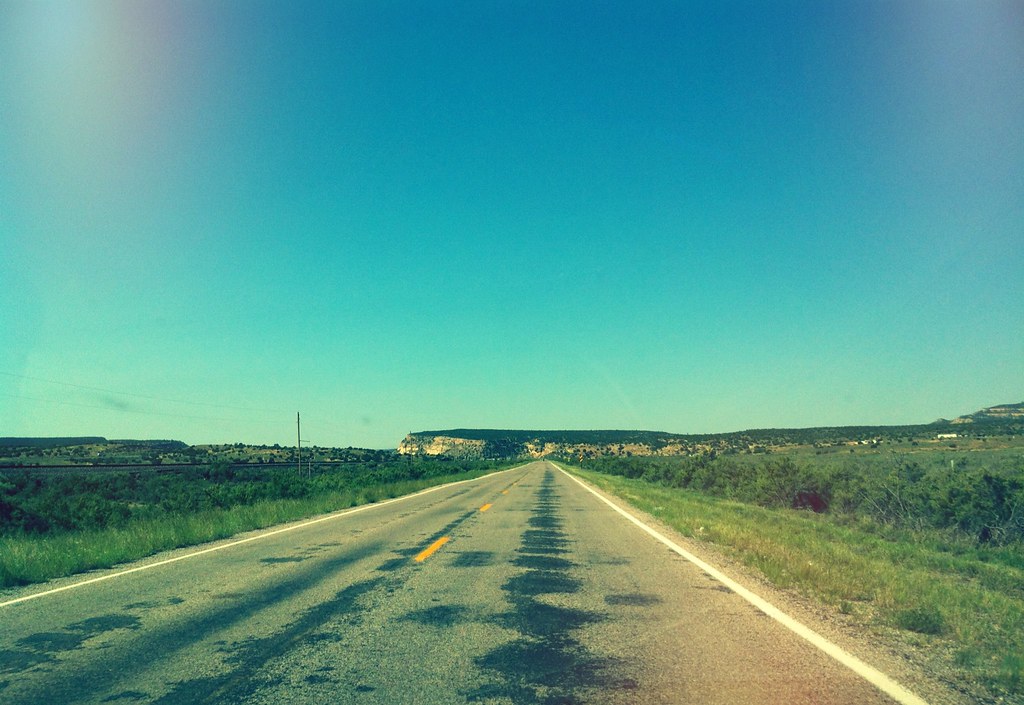
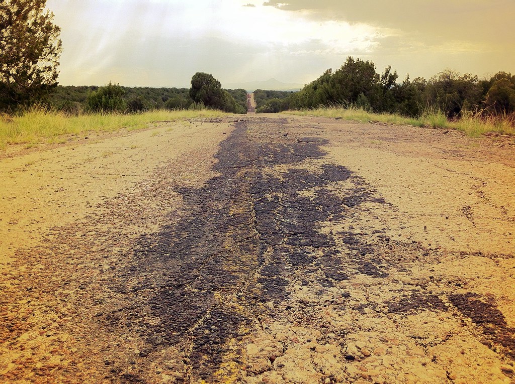
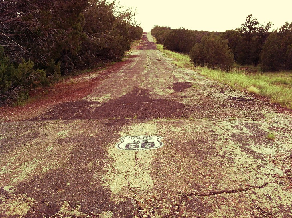
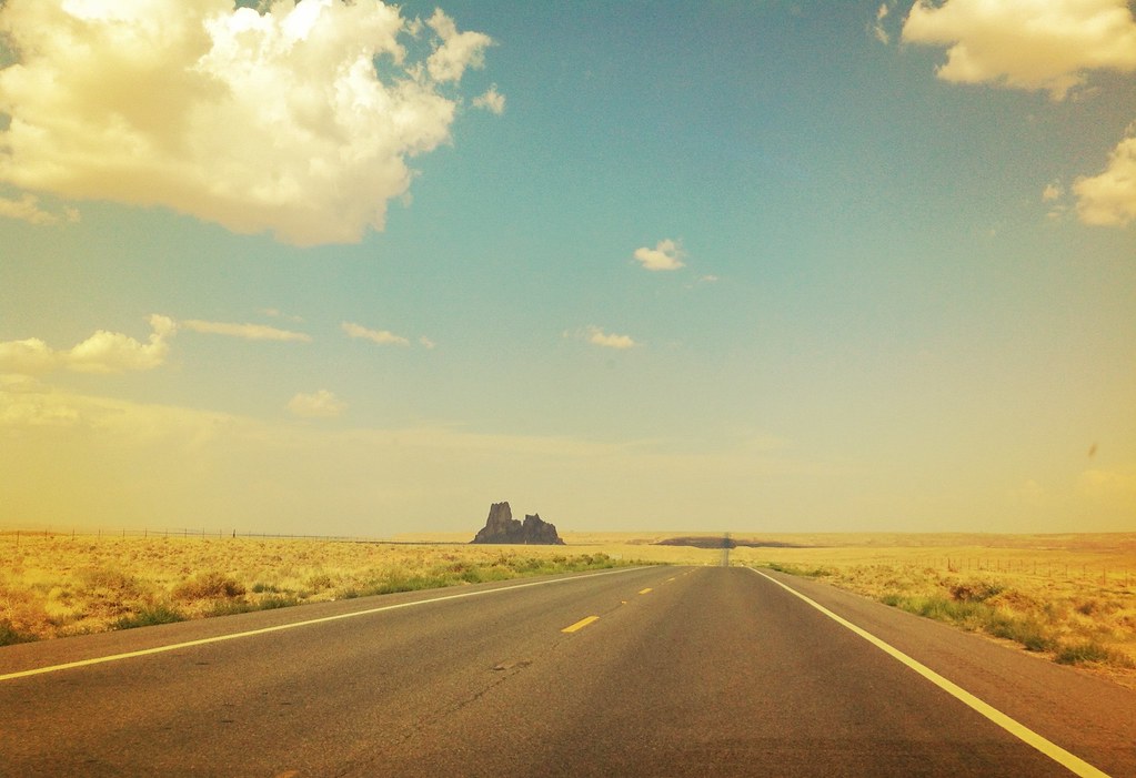
Reaching New Mexico, we cruised through Tucumcari and then opted for the pre-1937 alignment of Route 66. This took us up to Santa Fe and then straight down through Albuquerque instead of the post-1937 alignment which goes east-west. We saw wild horses on an old portion of Route 66 between Alberquerque and Gallup where the road appears unchanged since it closed. When we arrived in Gallup there was a Navajo song and dance festival going on so we had to detour around the city.
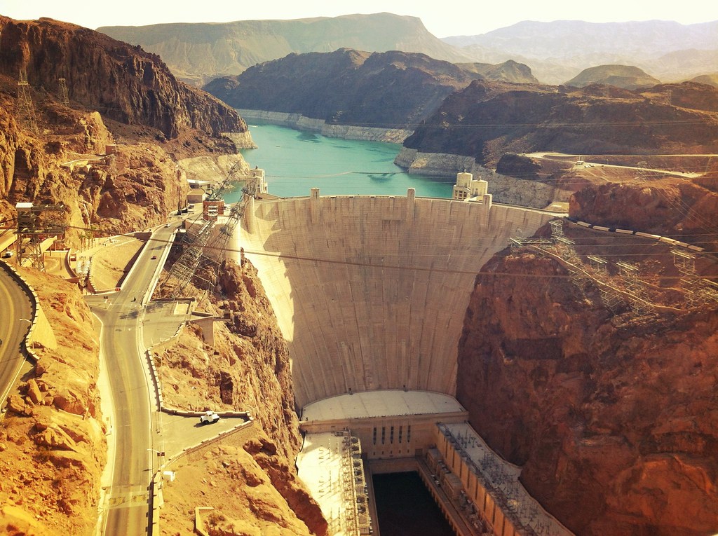
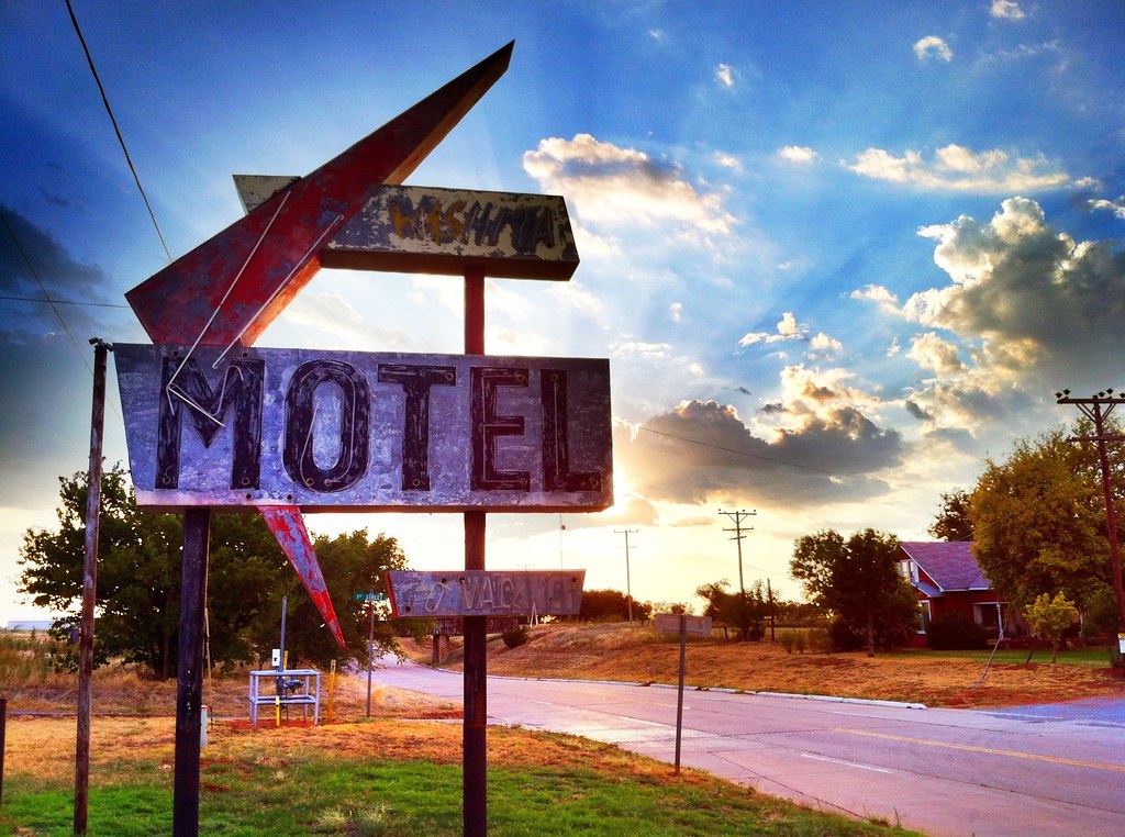
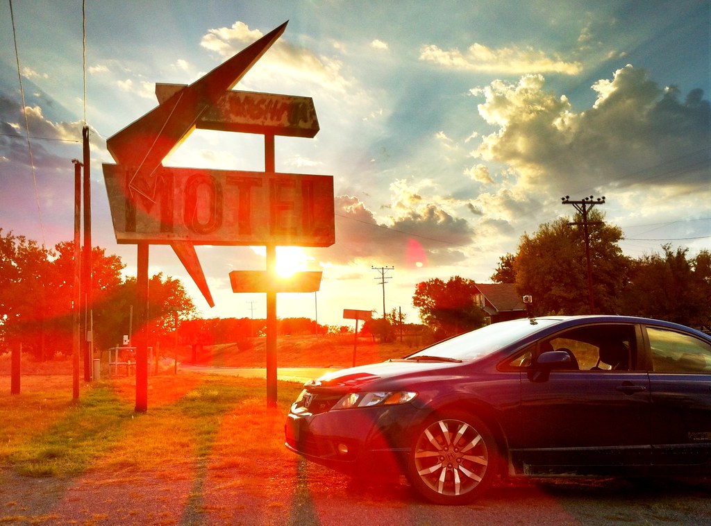
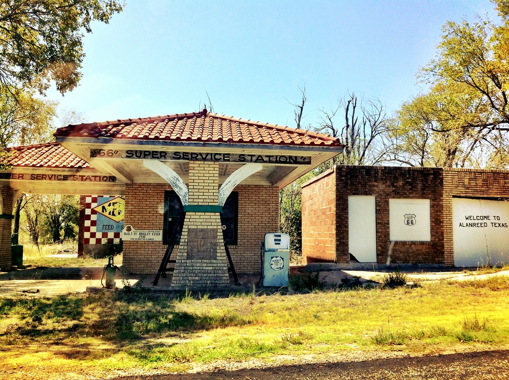
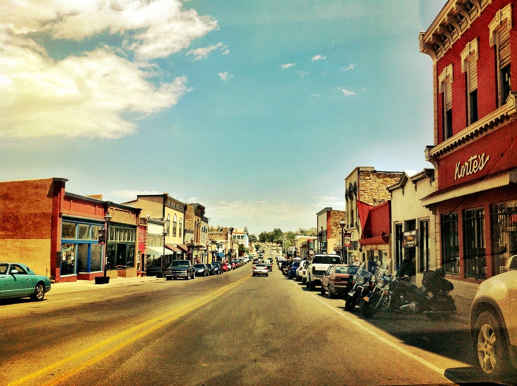
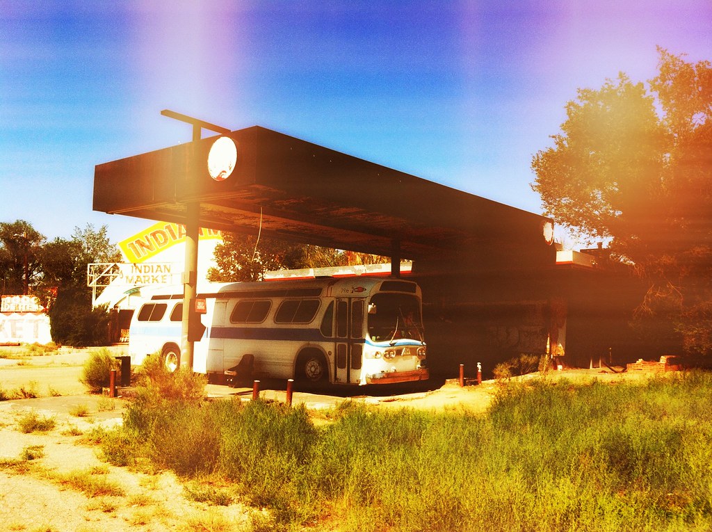
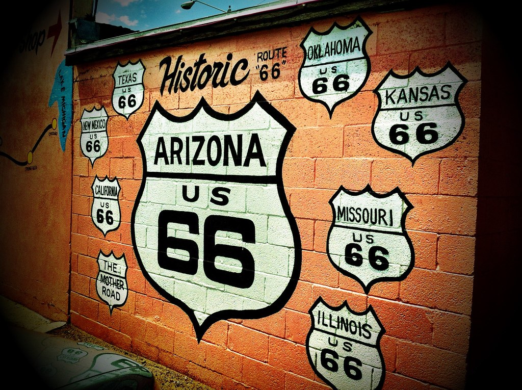
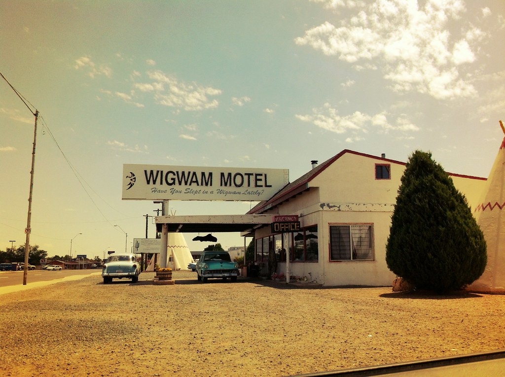
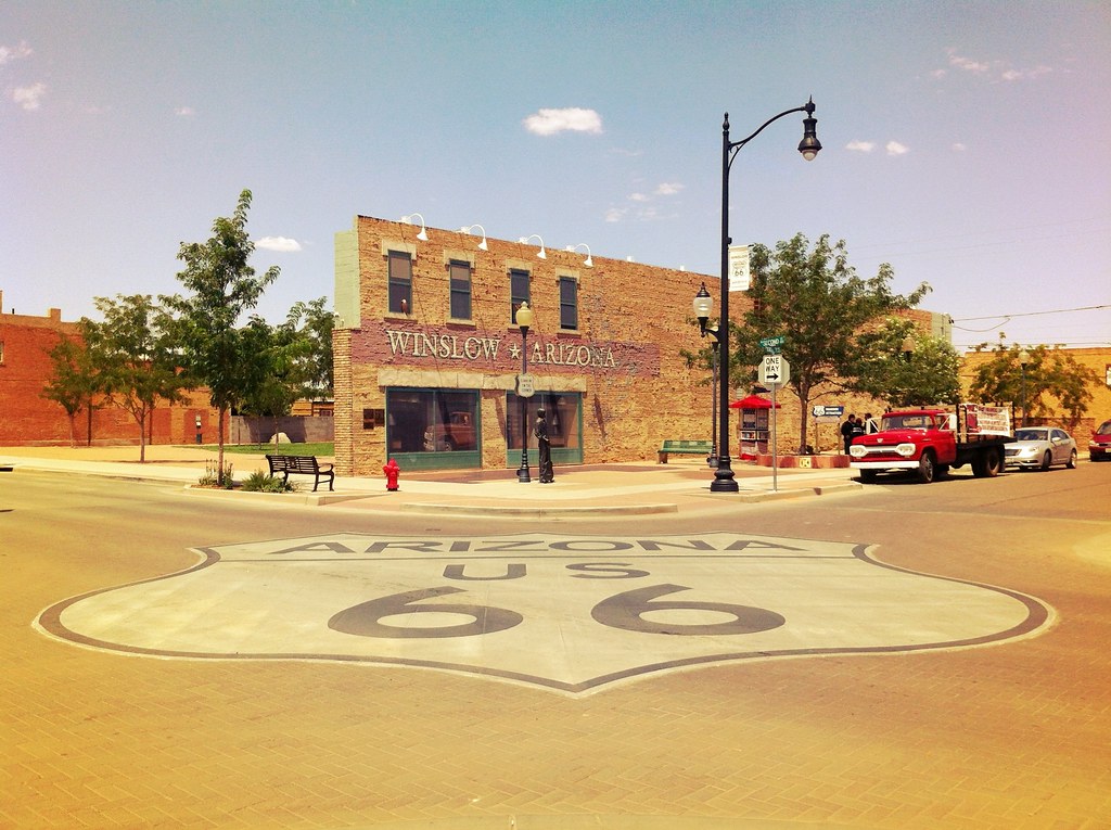
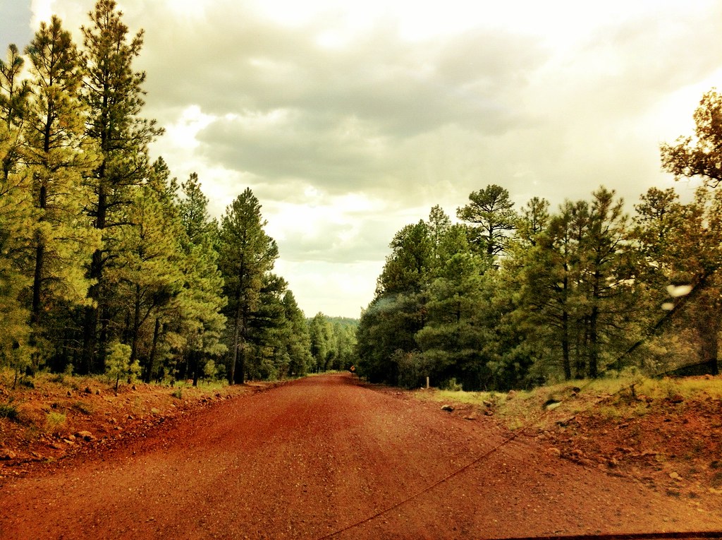
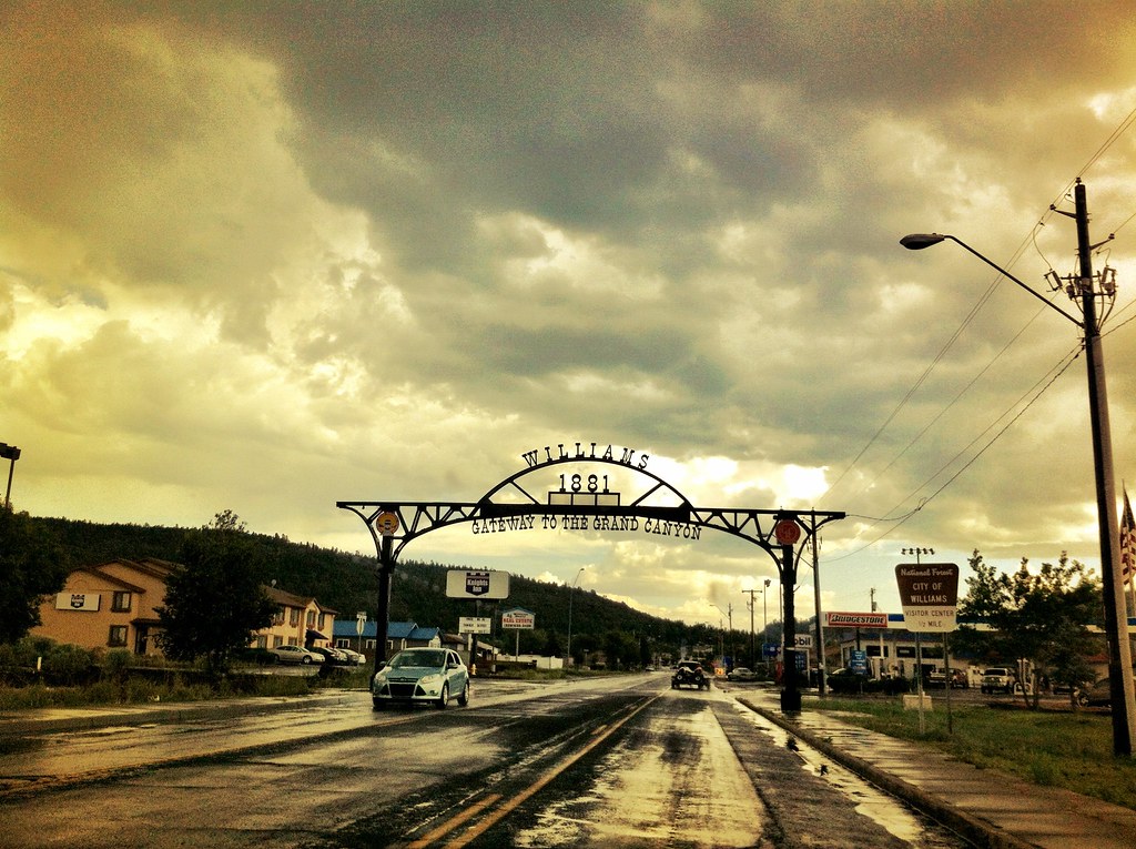
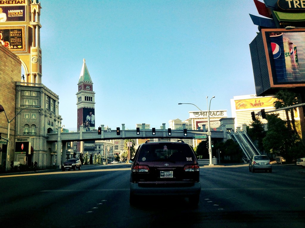
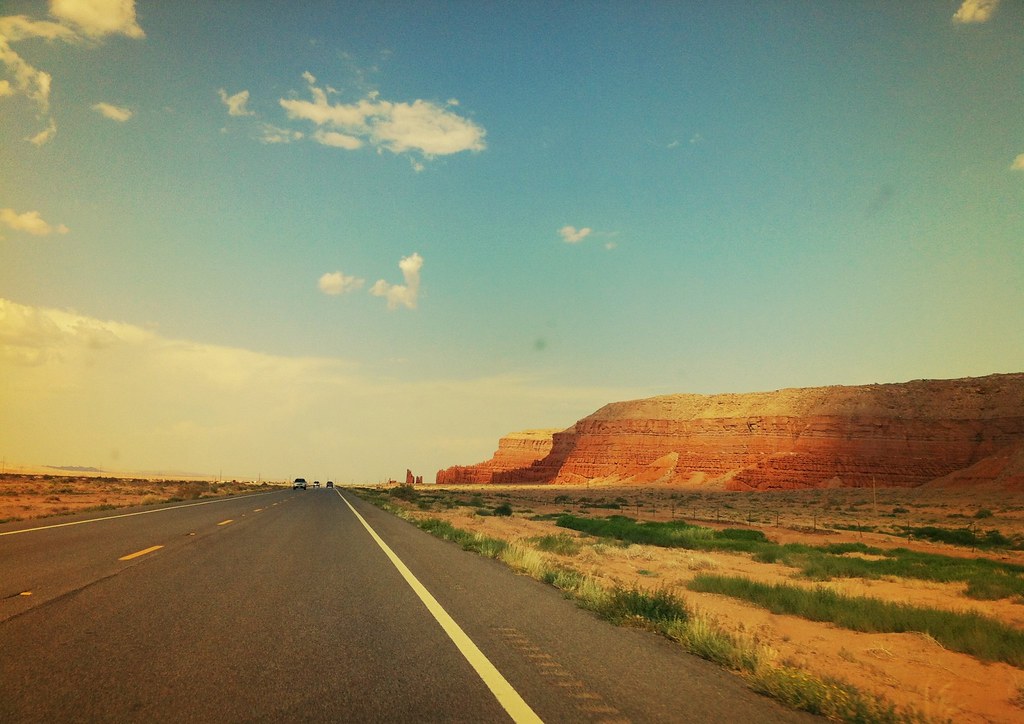
We entered the Arizona section of the journey next, stopping in Holbrook to see the largest map of Route 66 and the wigwam motel. Next up we stopped and stood on a corner in Winslow, Arizona (The town made famous by The Eagles song in the 70’s). From Winslow we continued our Arizona adventure into Flagstaff and Williams. Unlike a lot of the towns and cities along Route 66, both Williams and Flagstaff are still thriving today with lots of shops restaurants and tourists, many of whom are on their way to the Grand Canyon. From Williams, we continued west into one of the most scenic points of Route 66 (and the entire trip) as we entered Kingman. We made a last minute decision to take a break from Route 66 and head north up to Las Vegas for the night, stopping at the Hoover Dam on the way back before returning to Kingman and continuing our journey west.
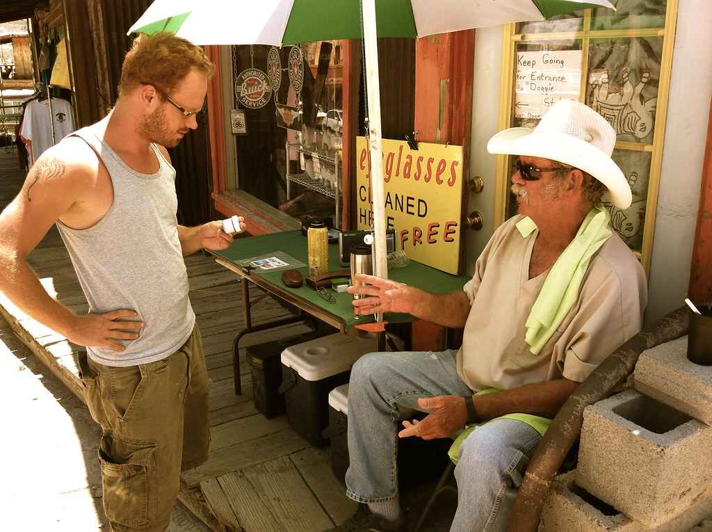
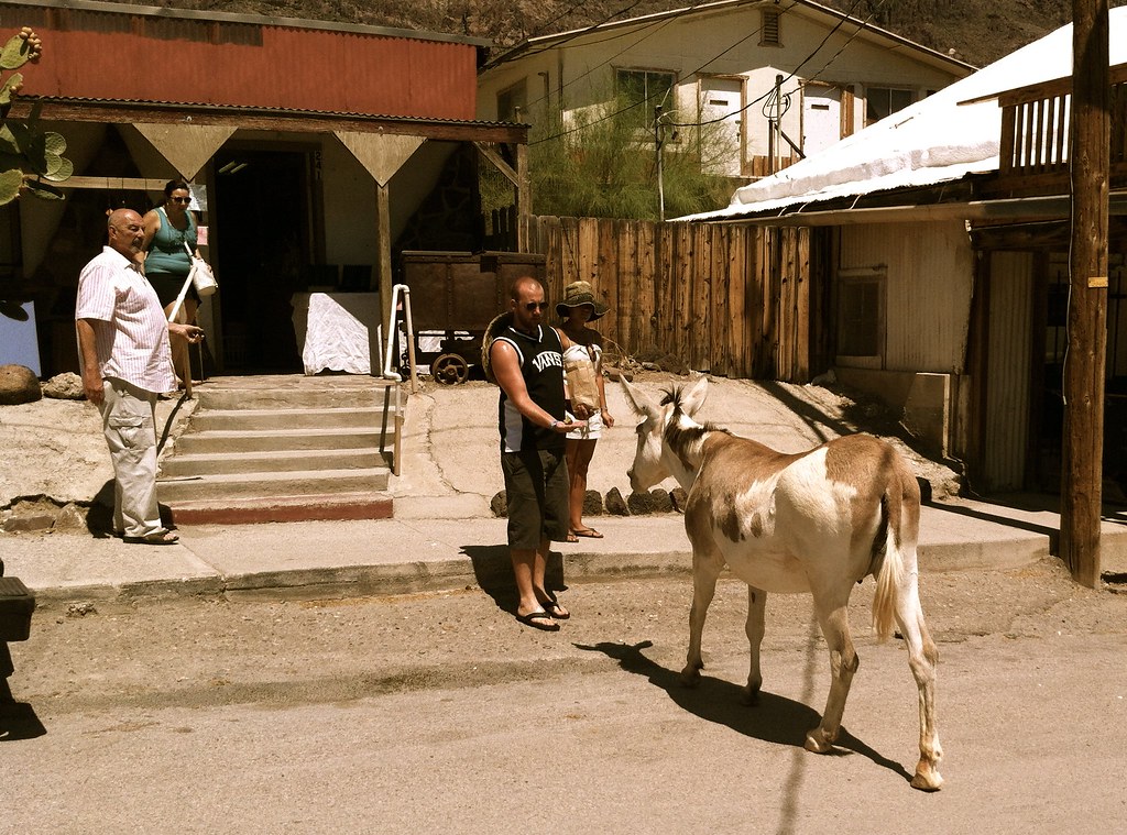
After stopping in Kingman and seeing the world’s longest Route 66 map and an abandoned motorcross raceway park, we headed up into the hills into the twistiest part of Route 66. After summiting, we started down the other side of the hills and stumbled into Oatman, Arizona to which we had no prior knowledge of. It turned out to be one of our favorite spots of the trip thanks to the friendly locals, interesting shops and businesses, gunfights and of course the wild burros that you can feed and pet as they wander around the streets.
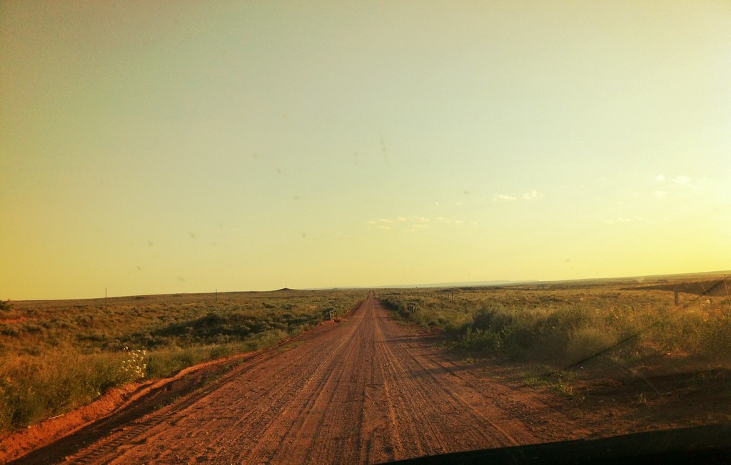
After Oatman, we headed into the final state of Route 66: California. Until this point, the trip had gone very smoothly with no hiccups of any kind. Getting a little too comforterable with the Route 66 iphone app that was guiding us we encountered some troublesome sand trying to follow the historic route and got stuck. Luckily I used the same techniques I had used dozens of times getting stuck in snow and we were able to shake the car loose and continue. Later that night however we got stuck again turning around on a dirt access road in the Mojave preserve. I learned that night that 1) AAA does not help you if you are not on a paved road (Thanks a lot AAA!) and 2) Tow truck drivers will make any excuse not to come and help you out if you are on a dirt road (my favorite was “We can’t afford to get our truck dirty”). Luckily the folks at Big D’s towing actually cared that we were stuck in Mojave Desert and charged us 1/3 of the price that the AAA company quoted us, Thanks Again Big D!
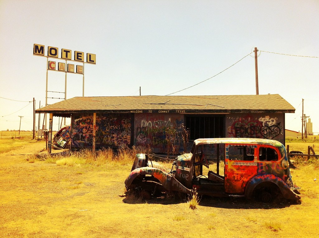
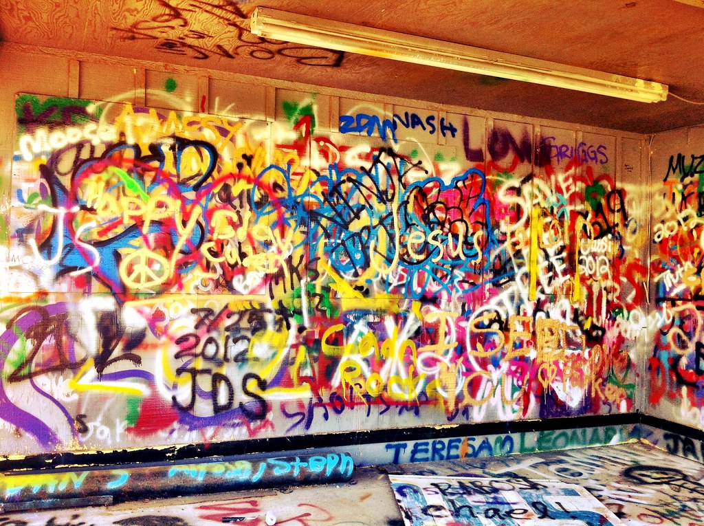
So for two years in a row I have gotten stuck in the Mojave Desert leaving Las Vegas. Luckily this time I won a little bit of money which helped pay for the towing charge. Fortunately, the whole ordeal didn’t take any time off the trip since we camped in the spot we got stuck. We got up early the next day and continued west on old 66. This part of Route 66 was unique in that there were graphitti buildings and countless rock formations, many spelling out names of people who had stopped next to the road. After a quick stop in Barstow for lunch at the same In-and-Out Burger as last year (even more packed and crazy than before) we headed to Victorville.
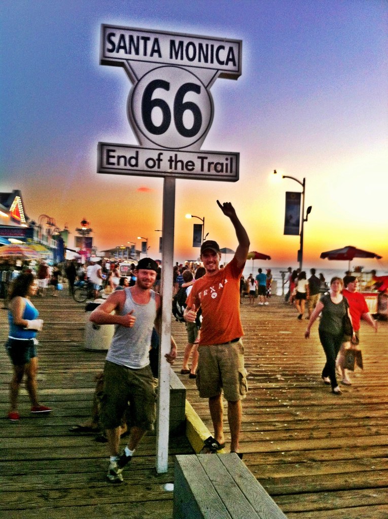
Just outside of Victorville is a Bottle Cactus Ranch, a very unique collection of bottle and other miscellaneous objects. We talked to Elmer, the owner and creator of the ranch who was happy to tell us about many of his items before we started the final stretch of 66. Up until this point we hadn’t skipped any part of Route 66 and had taken every scenic detour and oldest route possible. We were trying to get to Santa Monica before sundown and it would have been nice to jump on the highway and save a couple hours. Instead we stuck to old Route 66 and went from San Bernindino all the way through Hollywood and Beverly Hills stopping at every stoplight and stop sign taking several hours in rush hour traffic to reach the end.
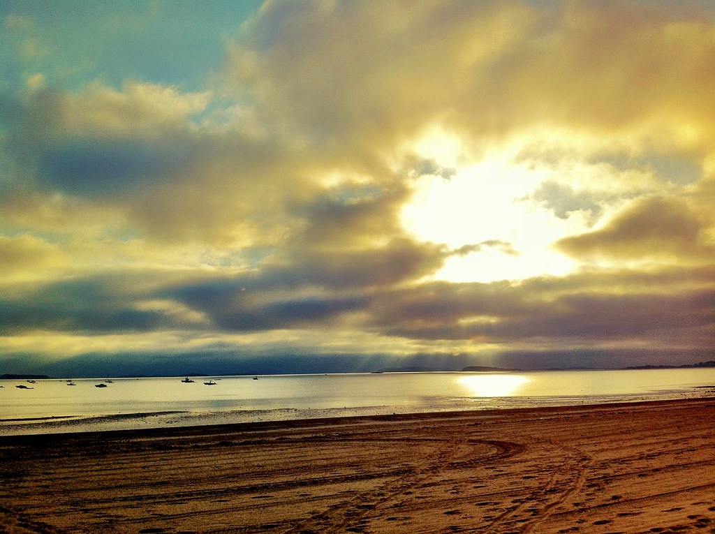
Luckily the strenous end of the journey was worth it when we reached the Santa Monica pier, got out of the car and walked up to the “End Of The Trail” sign just as a picturesque sunset was taking place.
After a night in Hollywood and an oil change we started the voyage up Pacific Coast Highway 1. Along the way we got glimpses of some unexpected creatures including zebras and elephant seals. The road was extremely scenic again like it was a year ago on my 2011 trip. A little more fog was present this time but it was still an amazing drive. Unlike last year, when we arrived in San Francisco the entire Golden Gate Bridge was visible. We played some Disc Golf in Golden Gate Park and then headed down Lombard St and battled traffic to head west over the Bay Bridge out of San Francisco.
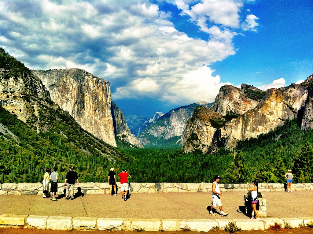
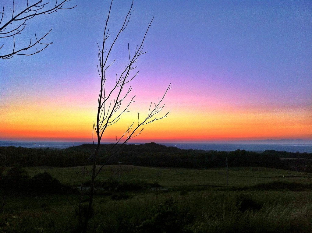
From the Bay Area we started our trip east into Yosemite National Park. We didn’t have time to go on any of the trails or tours of the park but we were able to see some spectacular views from a few hours of driving around the park. California held both the highest (117°F in the Mojave desert) and the lowest temperatures as we left Yosemite (44°F). Coming out of Yosemite on California 120 proved to be a lot of fun as the road has a roller coaster effect for several miles.
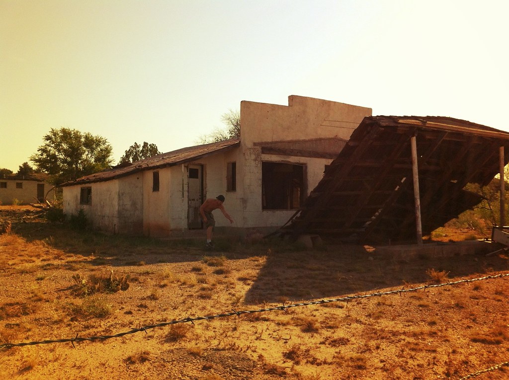
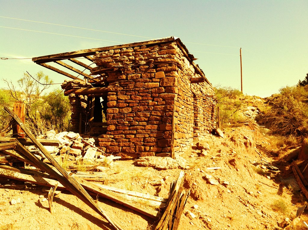
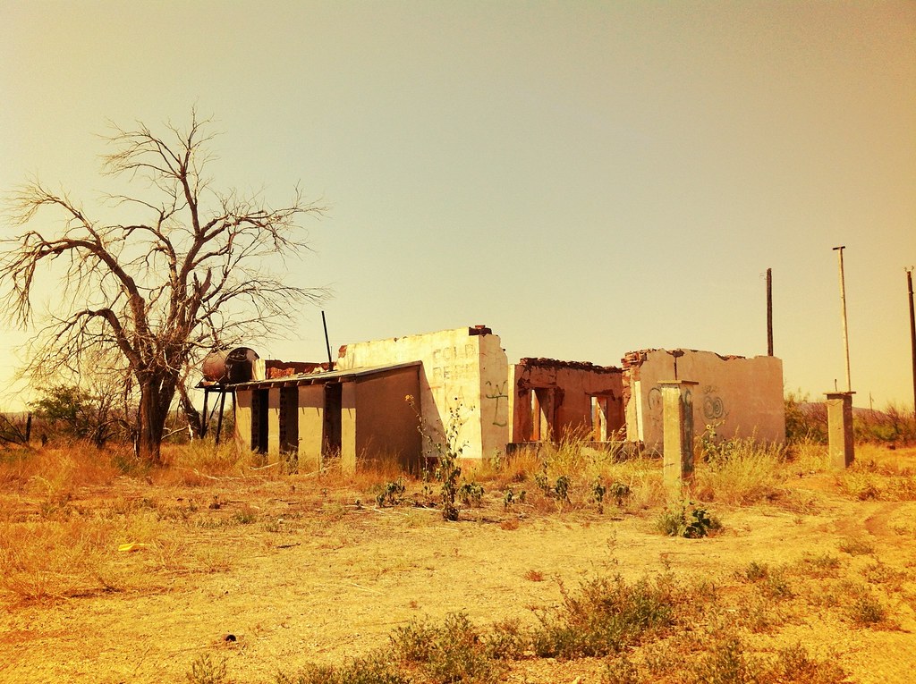
Without knowing it at the time, we found ourselves on the Extraterrestrial Highway (Nevada 375) not far from Area 51. We stopped for gas and some Alien Jerky learning from the locals that sonic booms, strange low-flying government aircraft and other mysterious lights are normal in this part of the state. We also learned of several ghost towns in the area and decided to check out one near Caliente, Nevada. Unfortunately, my Civic got a flat tire due to some rocky roads near the ghost town so we were forced to find help in Caliente. We decided it was a good excuse along with the constant rain, to stay in the first motel of the trip. The locals helped me change my tire and we enjoyed dinner and drinks with them in what turned out to be a great totally unplanned night.
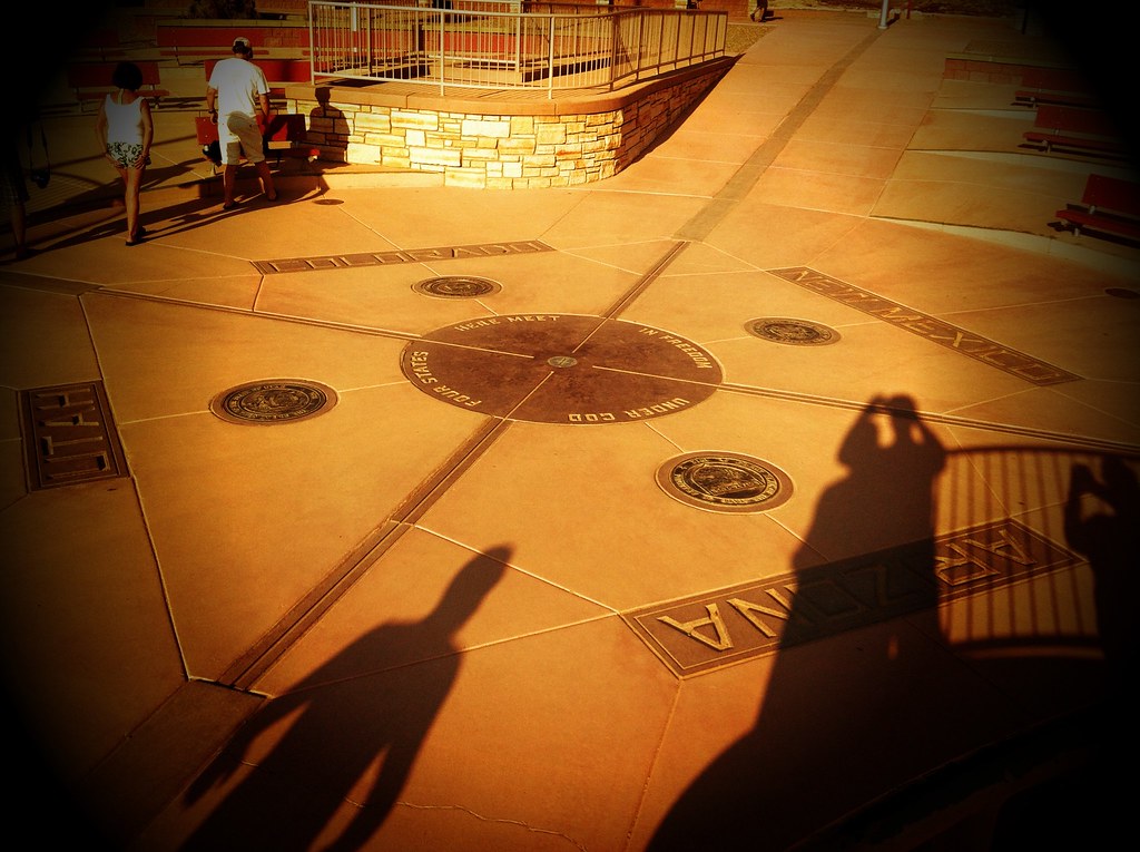
The next morning we headed further east into Utah near Zion National Park. Unfortunately, we didn’t have time to visit it but it’s in the cards for the future. From Utah, we headed east back into Arizona and New Mexico to the Four Corners. The Four Corners is the only place in the United States where four states meet directly on their corners and you are able to stand in all four at the same time. We camped out in Farmington, New Mexico that night and made the final trek back the next day. We drove all day long but stopped in Roswell for lunch and got back into Austin after nightfall.
It was an incredible journey seeing Route 66 from start to finish and realizing how much of the Disney movie Cars accurately depicts the mother road and it’s towns. Even though I can say I drove Route 66 from start to finish I’ve been told that I need to do it on a motorcycle to really get the full experience. I won’t argue this point and would gladly travel it all over again via bike for my first motorcycle drivelapse video and see all the things I missed out on this trip. Until then enjoy the three videos I made on this trip: Drivelapse Route 66, Timelapse USA 2012 and Drivelapse USA 2012.
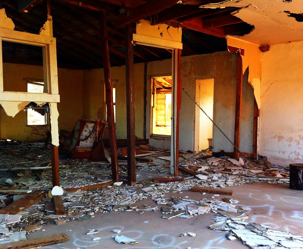
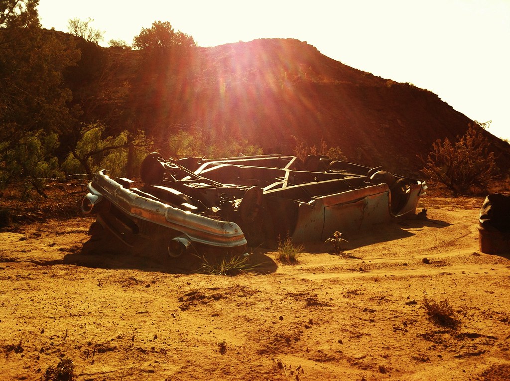
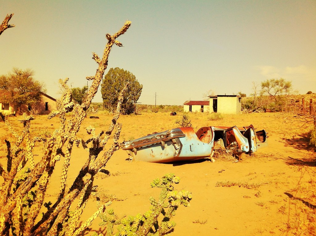
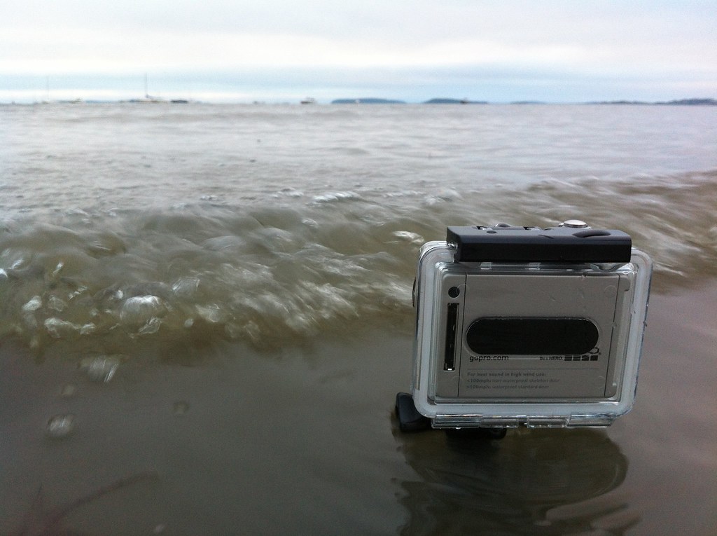
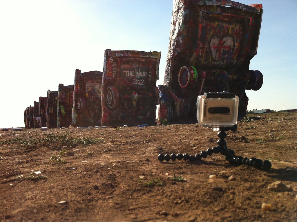
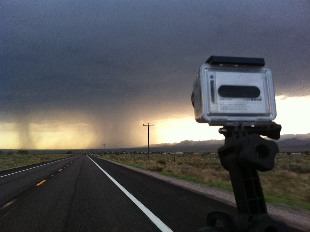
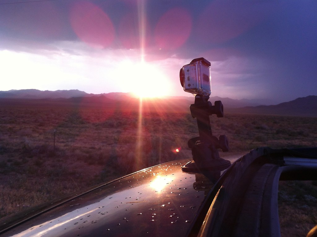
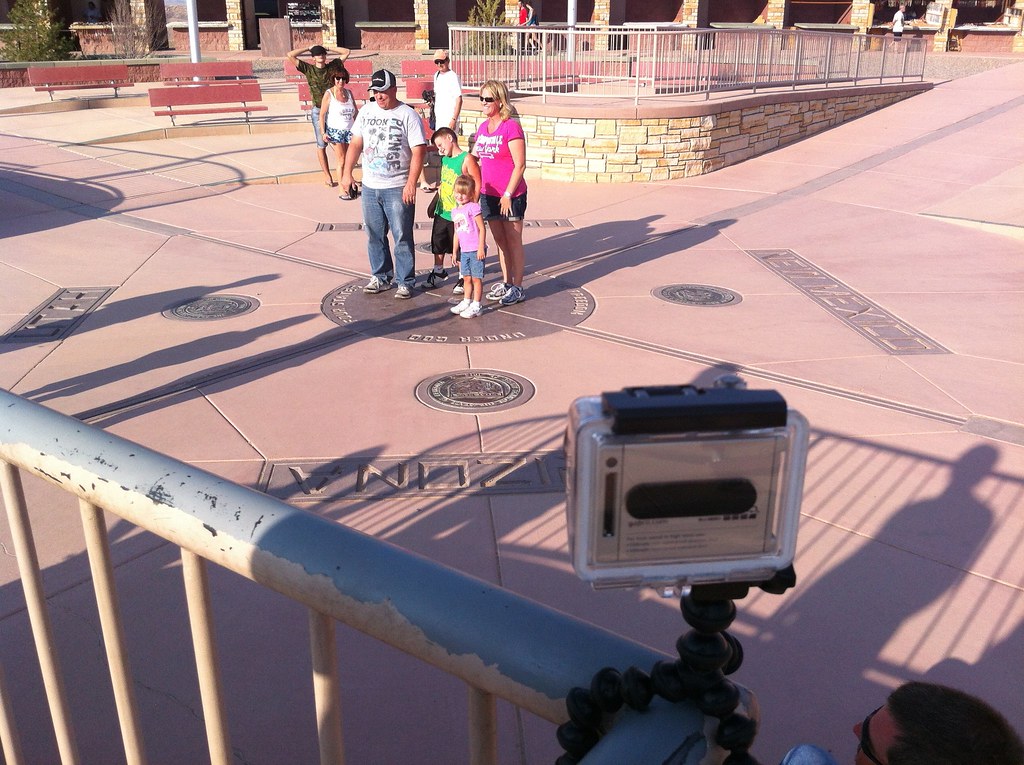
TRIP PHOTOS:


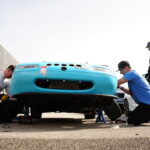
BEHIND THE SCENES:


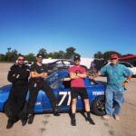
 TRACK WATCHING #3 – BRIAN DEFREES AND HEARTLAND TOP 10 SHOOTOUT
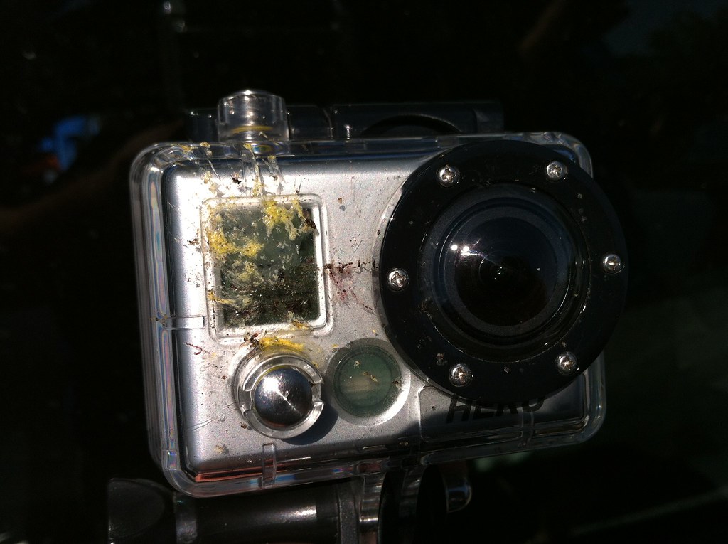
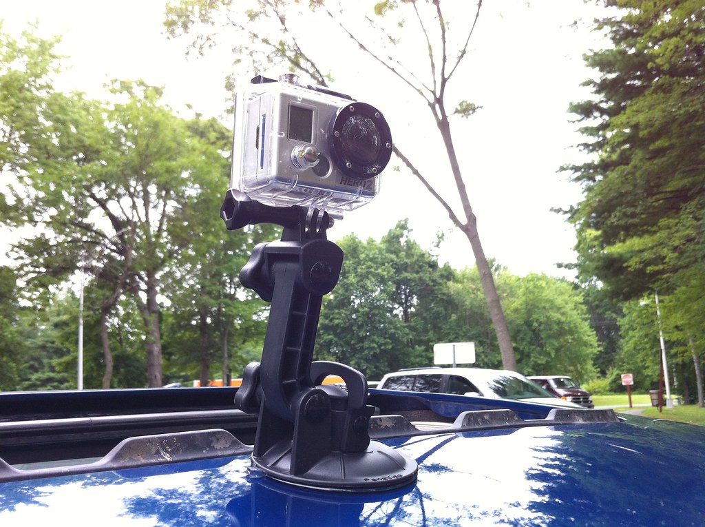
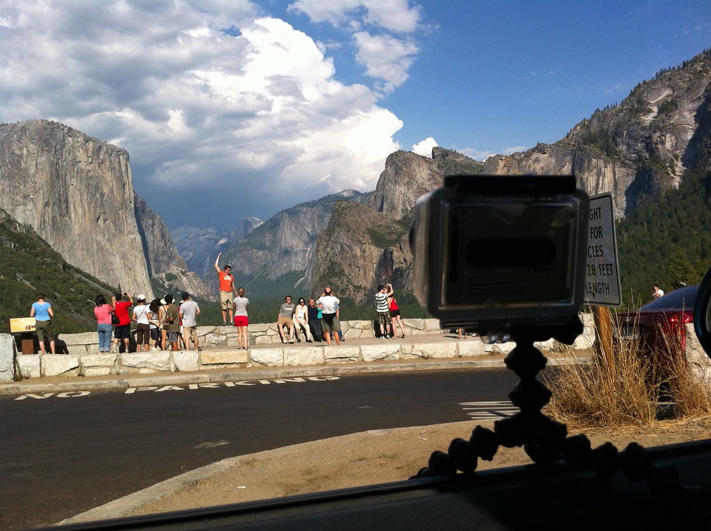
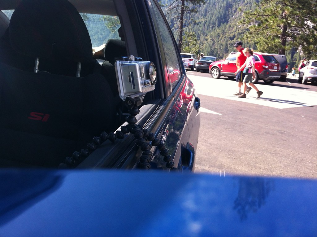
[…] In July/August of this year Brian DeFrees drove his 2009 Honda Civic Si along America’s main street, historic U.S. Route 66. Brian captured the entire trip from downtown Chicago, Illinois to the Santa Monica Pier in Los Angeles, California with two GoPros attached to the roof of his car. Brian took the oldest parts of Route 66 which date back to the 1920s. His entire trip was edited down to just over 3 minutes for your viewing pleasure. [DeFreesProductions] […]
[…] can get more information about the trip right here to help you start planning your own adventure. Also, can we come? We’re excellent […]
[…] can get more information about the trip right here to help you start planning your own adventure. Also, can we come? We’re excellent […]
[…] can get more information about the trip right here to help you start planning your own adventure. Also, can we come? We’re excellent […]
[…] can get more information about the trip right here to help you start planning your own adventure. Also, can we come? We’re excellent […]
[…] can get more information about the trip right here to help you start planning your own adventure. Also, can we come? We’re excellent […]
[…] この動画が撮影された時の写真などはこちらのサイトから見ることができます。 Road Trip | Route 66 Cross-Country USA – 2012 – DeFrees Productions?|?DeFrees Production… […]
[…] can get more information about the trip right here to help you start planning your own adventure. Also, can we come? We’re excellent […]
[…] can get more information about the trip right here to help you start planning your own adventure. Also, can we come? We’re excellent […]
Austin to Nashville in one day?
Wow. Took me two days (with a stopover in New Orleans) o make Atlanta to Austin … and i’m not exactly the world’s slowest driver… (or at least, i wasn’t, in those days).
Yea, it was an awful lot of interstate driving (Would have taken the scenic route if we had time). Not nearly as bad as this trip though: http://www.defreesproductions.com/road-trip-ny-tx-2012/
[…] Route 66 Cross Country Road Trip Map, Data, Summary, Photos, Equipment Used: http://www.defreesproductions.com/road-trip-route-66-cross-country-usa-2012 […]
[…] – TENDENCE! USA Route 66 Cross Country Road Trip Map, Data, Summary, Photos, Equipment Used: http://www.defreesproductions.com/road-trip-route-66-cross-country-usa-2012 […]
[…] the old Route 66, but until I have the money and time to actually do it, this timelapse YouTube video will just have to […]
[…] More details on his journey at his blog. Share Brian Defrees, Off Topic, Route 66, Timelapse […]
I’m from Brazil Florianopolis.
Awesome, spectacular records
Congratulations
I’m sorry my English
Great to see someone from Brazil on my blog. Thank you very much Jose!
Hi – I’m from England and I’d like to do Rt.66 this suumer from Chicago to Oklahoma on a motorbike (sorry that’s all the time I’ll have). Rt.66 seems to have ‘disappeared’ in many cases, being roped into other roads with newer Rt. numbers; do you know where I can find a map with both the old Rt.66 marked and the new/current route numbers, so I can try to follow the original route as close as is possible? Cheers, Al from Oxford (UK).
Hi Al,
Sounds like a fun trip, I’m sure you’ll return to finish the rest someday. If you have an iPhone I would suggest the Road Trip 66 Application: http://www.defreesproductions.com/road-trip-66-route-66-iphone-app/
It has every version of the route and every attraction along the way, so you are sure not to miss anything. We were able to find the much less traveled parts of the route along with the modern parts. Hope that helps.
Firstly, I want to extend my appreciation for your video, photos, and recap of this amazing trip! It looks like it was a great time! You’re a super talented photographer and I had a great time looking through your shots from the road.
I’m curious though, in your “Trip Data” section, you state “Total Approx. Trip Cost: $1,250” which leads me to believe that the ENTIRE trip cost you only $1,250? This seems very low-cost to me. If it is accurate, Please share your budgeting secrets!
Hi Stephanie,
Thanks for taking the time to browse through everything, It’s a lot to digest! Yes, $1,250 is correct believe it or not. That number is for me (1 of the 2 people who took the trip) alone. Gas was around $600 per person and the rest was spent on food, lodging and misc. stuff purchased along the way. The key money saver for us was we only spent one night in a hotel the entire trip. The rest of the time we stayed at campsites (many of which were free) and friends and families houses. We also didn’t always have three meals a day. Many of our dinners were cooked over campfire for a very small cost and fast food along the way was always super affordable! Those are the main things that kept the costs low, not to mention having a car that can get 30+ miles per gallon is also a benefit. Thanks for asking, I adjusted the data section to clarify that based on your question.
Hi,i am from Austria and i will do the R66 in the near future with the bike! What timelaps setting did you use on the road?
I realy like your video!
best regards
Werner
Hi Werner,
Sounds like an awesome trip you have planned, I’d like to do it on bike someday too. I shot photos at an interval of every 5 seconds. Thanks for watching!
This is awesoooome!
I’m from Brazil and I pretend to make this travel next year, I’m trying to get more information about the route, hotels, costs, etc. but in portuguese it’s almost impossible to do this, there’s like two travel agencies that charge eleven thousand bucks so it’s a ‘little’ high for me hahaha..
I sent you a message on your facebook page, but I’m gonna read this all over again and take some notes. 😀
The videos and pictures are amazing, congratulations!
Hi Diego,
Glad to hear you will be making a similar journey. There’s lots of ways to keep your travel costs down, feel free to shoot me a message if you have any questions. Thanks for checking out all my photos and videos, good luck on your trip!
I liked your Route 66 video. I grew up in SE Kansas along the ONLY spur Route 66 had…US 166. I know almost every inch of Route 66 from Joplin to Yukon and thoroughly enjoyed trying to pick out the places I knew (including the Coleman Theatre in Miami, OK). I did not know that Galena, KS was the inspiration for Radiator Springs. Where on earth did you find that little tidbit of information??? Thank you for sharing your road trip.
Nice set of photos! As a suggestion, you might think about US 62, going from the border between USA and Canada, across the Niagara River at Niagara Falls, NY, southwest to the border between USA and Mexico across the Rio Grande River in El Paso. It is an interesting route, with a cross-section of American live, through industrial areas, oil country, horse ranches, farms, even alleged parts of the civil war underground railroad. Like 66, much of the route has been superseded with freeways and interstates, but it is fairly easy to discover the original highway.
Hi Mike, glad you enjoyed the video. I remember coming across a photo of “Mater” on the roadside america website and learning that both his character and Radiator Springs were inspired by Galena. Thanks for watching!
Hi Alfred, I haven’t heard of this route before but it sounds just as fun to follow as Route 66 (trying to avoid interstates and finding the original path). I appreciate the tip and thanks for checking out my photos!
Taking a long shot question here. We are traveling Route 66 this summer for our Honeymoon and are planning to camp it as you did. Do you have information or tips for camping?
There is a lot of great campsites along the route and also a few good ones that we stayed at not far from 66. We found most of ours through freecampsites.net.
Who is singing on your video? We wouldn’t mind hearing more! It certainly wasn’t John Mayer.
It’s a band actually called Route 66 from Upstate NY!
My wife and I are interested in taking this journey since we are retired and have the time. However we’re not quite as brave as you and would probably spend the nights in motels rather than camping. The concern I have is the leg you described from Oatman to California. You mentioned the sand and getting stuck in the Mojave preserve. How much out of the way would it be to take a detour around this specific area?
The problem was we did actually detour a bit to find a place to camp, you shouldn’t have any problems on 66 itself – especially if you are staying at motels. We were just a little too adventurous on some backroads looking for a camping spot… next time I’ll bring my 4×4 truck 🙂 Good luck on your trip!